Wattental - Möstal - Lizumer Mountain Hut

Mountain Hike recommended route

Wattental - Möstal - Lizumer Mountain Hut

Mountain Hike · Hall-Wattens
Logo Tourismusverband Region Hall-Wattens
Responsible for this content
Tourismusverband Region Hall-Wattens Verified partner  Explorers Choice 
  • Mölser Niederleger
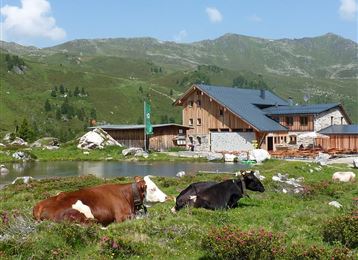
    Mölser Niederleger
    Photo: Anne W., Tourismusverband Region Hall-Wattens
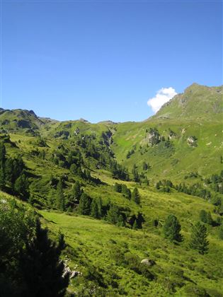
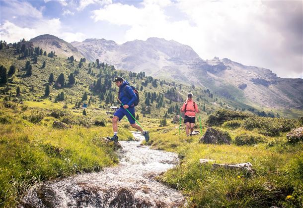
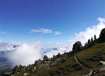
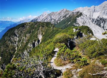
Where the Alpine roses flower ...At the right time of year, walkers in the Wattener Lizum will be greeted with a carpet of flowering Alpine roses. As well as the trail through two valleys, this leisurely circular walk, which takes in the cosy Lizumer mountain hut, also includes somewhere to tease the taste buds
moderate
Distance 19.7 km
6:30 h
1,123 m
1,085 m
2,435 m
1,409 m
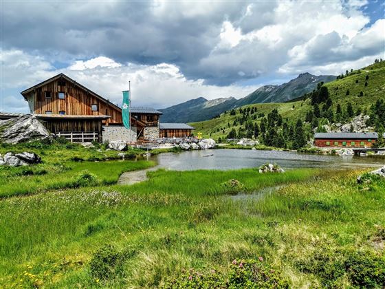
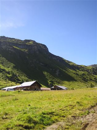
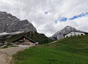
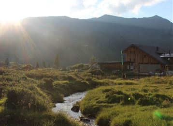
Starting into the Mölstal we pass little huts until we reach the Lizumer mountain hut

Author’s recommendation

A break at the Klammsee!
Profile picture of Anne W.
Author
Anne W. 
Update: July 12, 2022
Difficulty
moderate
Stamina
Experience
Landscape
Highest point
2,435 m
Lowest point
1,409 m
Best time of year
Jan
Feb
Mar
Apr
May
Jun
Jul
Aug
Sep
Oct
Nov
Dec

Track types

Show elevation profile

Rest stops

Lizumer Hütte

Tips and hints

www.hall-wattens.at

Start

Lager Walchen Parkplatz (1,408 m)
Coordinates:
DD
47.208200, 11.625280
DMS
47°12'29.5"N 11°37'31.0"E
UTM
32T 698806 5231644
w3w 
///supplies.outwardly.beatable

Destination

Lizumerhütte

Turn-by-turn directions

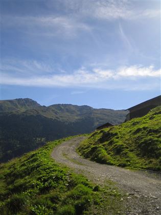
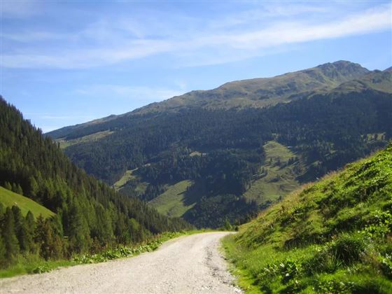
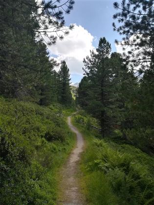
Leave the car-park at Lager Walchen (army camp) in the Wattens valley and head up the valley towards the barrier. At the end of the barracks site, turn to the right into the Möls valley and follow the forest trail. At the start the path is still quite steep, but as it winds its way up, the gradient becomes gentler. From the Möls Hochleger (upper pasture), a narrow track leads towards the Mölser Scharte. Lying beneath it in a beautiful spot is the lake, the Mölser See (2,280m).

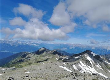
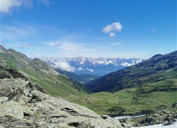
About 100m higher up, you will reach the highest point on the tour, the Mölser Scharte (2,379m), where the broad Wattener Lizum valley basin opens out.

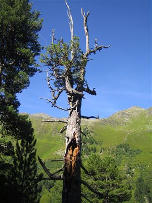
Follow the waymarked track towards the Lizumer mountain hut (2,019m). Take a well-earned break here, before following the signposted Lizumer Zirmweg back to your starting point near Walchen camp.

By road

Wattental Lager Walchen

Parking

Walchen Parkplatz

Coordinates

DD
47.208200, 11.625280
DMS
47°12'29.5"N 11°37'31.0"E
UTM
32T 698806 5231644
w3w 
///supplies.outwardly.beatable
Arrival by train, car, foot or bike

Similar routes nearby

  • Hippoldspitze
  • Map / Geier
    Geier
  • Hirzer
  • Lizumer Reib`n Rundtour
  • Kalkwand Umrundung
 These suggestions were generated by our system
Difficulty
moderate
Distance
19.7 km
Duration
6:30 h
Ascent
1,123 m
Descent
1,085 m
Highest point
2,435 m
Lowest point
1,409 m
Round trip Scenic Refreshment stops available Insider tip Summit route

Statistics

  • Content
  • Show images Hide images
Features
Maps and trails
  • 1 Waypoints
  • 1 Waypoints
Distance  km
Duration : h
Ascent  m
Descent  m
Highest point  m
Lowest point  m
Push the arrows to change the view

Please wait

Accommodation is searched

Please be patient for a little more time

All data will be loaded in an instant