Medium

Naviser Jöchl

Mountain Hike

29,31 km

08:00 h

1710 hm

2478 m

Best Time of Year

Jan

Feb

Mar

Apr

May

Jun

Jul

Aug

Sep

Oct

Nov

Dec

Information

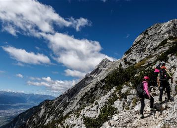
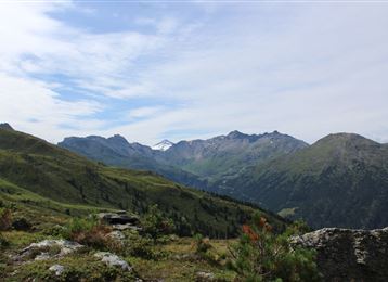
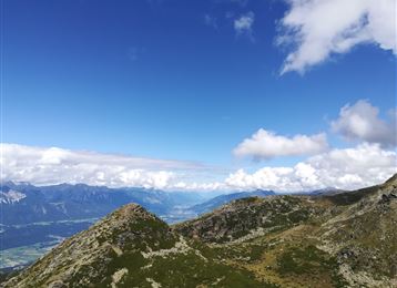
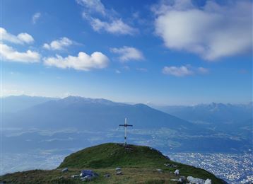
Beautiful hike to the end of the Voldertal valley via Vorbergalm, Steinkasern, Melkböden. Up to here forest road, then marked trail to the Naviser Jöchl (2479m).

Features & Properties

Stamina

Experience

Landscape

Map & Elevation Profile

Arrival

Tulfes - Glungezerbahn

Similar Tour Suggestions

Through the Halltal to the peak of the Bettelwurf

Hard

Mountain Hike

22,53 km

11:10 h

2192 hm

2206 hm

2716 m

Via Ferrata Absam

Hard

Via Ferrata

2,54 km

03:00 h

1121 hm

100 hm

2105 m

Closed
Glungezer & Geier - High Altitude Trail

Hard

Mountain Hike

15,63 km

08:00 h

767 hm

1365 hm

2794 m

From the Halltal to the Bettelwurf Mountain Hut

Hard

Mountain Hike

18,31 km

09:00 h

1495 hm

2184 m

A hike around the Glungezer Summit

Medium

Mountain Hike

11,41 km

04:00 h

722 hm

704 hm

2668 m

4 peak tour at the Glungezer panoramic trail

Hard

Mountain Hike

14,58 km

05:00 h

1077 hm

1008 hm

2668 m

Der Goethe Weg in Tirol

Medium

Mountain Hike

15,87 km

05:55 h

436 hm

1919 hm

2277 m

Glungezer Via Ferrata

Medium

Via Ferrata

2,03 km

02:00 h

448 hm

2604 m