Hiking

Medium

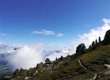
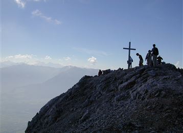
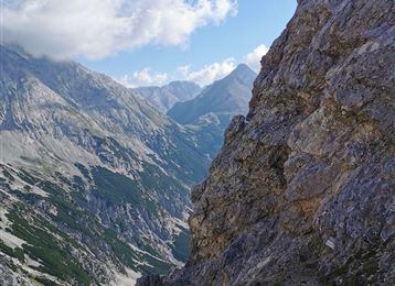
Vom Halltal über die 3 Zunterköpfe zur Kaisersäule

Mountain Hike

11,98 km

06:05 h

1236 hm

1382 hm

1964 m

Best Time of Year

Jan

Feb

Mar

Apr

May

Jun

Jul

Aug

Sep

Oct

Nov

Dec

Information

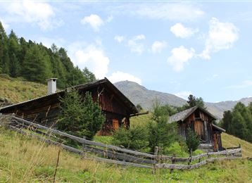
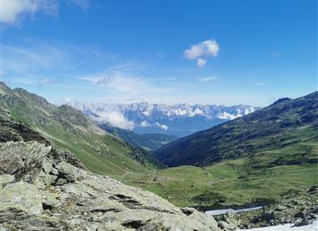
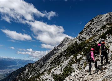
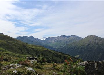
Via a steep ascent up to the Hochmahdkopf. From here we follow the ridge to the Haller and on to the Thaurer Zunterkopf. From the Thaurer Zunterkopf we descend to the Kaisersäule. After a refreshment stop at the Thaurer Alm, we descend via the Romedikirchl to Thaur. Here you can

Read More...

Features & Properties

Stamina

Experience

Landscape

Map & Elevation Profile

Arrival

Hall - Absam - Halltal Parkplatz

Similar Tour Suggestions

Glungezer Via Ferrata

Medium

Via Ferrata

Via Ferrata

2,03 km

02:00 h

448 hm

2604 m

Hippoldspitze

Hard

Hiking

Mountain Hike

13,74 km

06:30 h

1221 hm

2625 m

Naviser Jöchl

Medium

Hiking

Mountain Hike

29,31 km

08:00 h

1710 hm

2478 m

The blue lakes

Medium

Hiking

Mountain Hike

16,43 km

08:00 h

1507 hm

1512 hm

2637 m

Wanderung auf den Hirzer

Hard

Hiking

Mountain Hike

18,02 km

08:00 h

1368 hm

2719 m

4 peak tour at the Glungezer panoramic trail

Hard

Hiking

Mountain Hike

14,58 km

05:00 h

1077 hm

1008 hm

2668 m

Lizumer Reib`n Rundtour

Hard

Hiking

Mountain Hike

10,71 km

06:00 h

928 hm

923 hm

2826 m

A hike around the Glungezer Summit

Medium

Hiking

Mountain Hike

11,41 km

04:00 h

722 hm

704 hm

2668 m