Lizumer Reib`n Rundtour

Mountain Hike recommended route

Lizumer Reib`n Rundtour

Mountain Hike · Hall-Wattens
Logo Tourismusverband Region Hall-Wattens
Responsible for this content
Tourismusverband Region Hall-Wattens Verified partner  Explorers Choice 
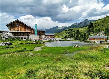
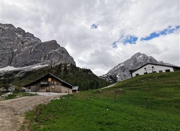
  • Lizumer Hütte, 2019m, photo: Gerald Aichner
    Lizumer Hütte, 2019m, photo: Gerald Aichner
    Photo: Gerald Aichner, Alpenverein Hall in Tirol
Von der Lizumer Hütte über den Geier (und eventuell Reckner- leichte Kletterei) und das Klammjoch zurück zum Ausgangspunkt
difficult
Distance 10.7 km
6:00 h
928 m
923 m
2,826 m
2,015 m
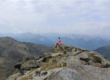
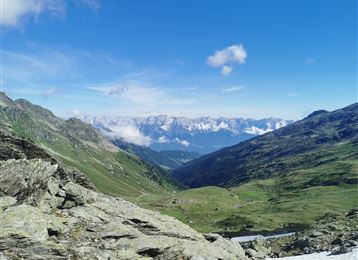
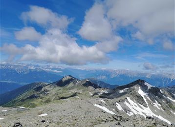
Von der Lizumer Hütte geht es über 2 Gipfel - Geier und Reckner - zu den Klammböden und das Klammjoch zurück zur Hütte.
Profile picture of Anne W.
Author
Anne W. 
Update: June 19, 2017
Difficulty
difficult
Technique
Stamina
Experience
Landscape
Highest point
2,826 m
Lowest point
2,015 m
Best time of year
Jan
Feb
Mar
Apr
May
Jun
Jul
Aug
Sep
Oct
Nov
Dec

Track types

Asphalt 20.66%Forested/wild trail 0.46%Path 62.81%Unknown 16.05%
Asphalt
2.2 km
Forested/wild trail
0.1 km
Path
6.7 km
Unknown
1.7 km
Show elevation profile

Rest stops

Lizumer Hütte

Start

Lizumer Hütte (2,014 m)
Coordinates:
DD
47.166826, 11.641923
DMS
47°10'00.6"N 11°38'30.9"E
UTM
32T 700222 5227089
w3w 
///witless.copybook.holds

Destination

Lizumer Hütte

Public transport

Wattens - Wattental - Parkplatz Lager Walchen

Parking

Lager Walchen

Coordinates

DD
47.166826, 11.641923
DMS
47°10'00.6"N 11°38'30.9"E
UTM
32T 700222 5227089
w3w 
///witless.copybook.holds
Arrival by train, car, foot or bike

Similar routes nearby

  • Kalkwand Umrundung
  • Wattental - Möstal - Lizumer Mountain Hut
  • Hippoldspitze
  • Map / Geier
    Geier
  • Hirzer
 These suggestions were generated by our system
Difficulty
difficult
Distance
10.7 km
Duration
6:00 h
Ascent
928 m
Descent
923 m
Highest point
2,826 m
Lowest point
2,015 m
Round trip Scenic Refreshment stops available Summit route Scrambling required

Statistics

  • Content
  • Show images Hide images
Features
Maps and trails
  • 1 Waypoints
  • 1 Waypoints
Distance  km
Duration : h
Ascent  m
Descent  m
Highest point  m
Lowest point  m
Push the arrows to change the view

Please wait

Accommodation is searched

Please be patient for a little more time

All data will be loaded in an instant