Hiking

Medium

A hike around the Glungezer Summit

Mountain Hike

11,41 km

04:00 h

722 hm

704 hm

2668 m

Best Time of Year

Jan

Feb

Mar

Apr

May

Jun

Jul

Aug

Sep

Oct

Nov

Dec

Information

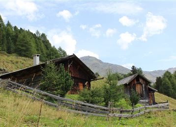
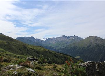
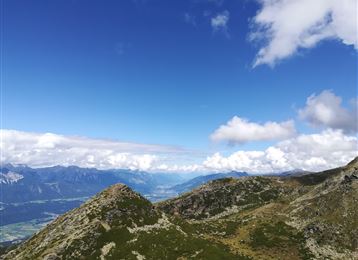
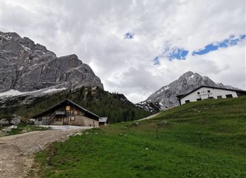
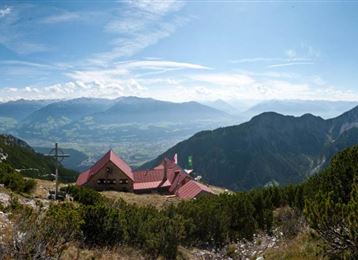
From the Glungezerbahn mountain station - on the Zirbenweg ( stone pine path) to the hut Boscheben - a short return and right onto the Glungezer Höhenweg, with a short side trip to the summits Sonnenspitze (2639 m) and the Glungezer (2678 m). Back to the Glungezerbahn mountain station.

Features & Properties

Stamina

Experience

Landscape

Map & Elevation Profile

Arrival

Hall Mitte -  Tulfes

Similar Tour Suggestions
Through the Halltal to the peak of the Bettelwurf

Hard

Hiking

Mountain Hike

22,53 km

11:10 h

2192 hm

2206 hm

2716 m

Lizumer Reib`n Rundtour

Hard

Hiking

Mountain Hike

10,71 km

06:00 h

928 hm

923 hm

2826 m

Vom Halltal über die 3 Zunterköpfe zur Kaisersäule

Medium

Hiking

Mountain Hike

11,98 km

06:05 h

1236 hm

1382 hm

1964 m

Glungezer Via Ferrata

Medium

Via Ferrata

Via Ferrata

2,03 km

02:00 h

448 hm

2604 m

Through the Halltal (valley) to the Halleranger

Medium

Hiking

Mountain Hike

11,65 km

04:30 h

1344 hm

379 hm

2085 m

Durch das Viggartal auf den Glungezer

Hard

Hiking

Mountain Hike

10,57 km

05:00 h

1634 hm

18 hm

2672 m

Kreuzjöchl - ein unscheinbarer Gipfel im Karwendel

Hard

Hiking

Mountain Hike

15,01 km

07:25 h

1451 hm

1442 hm

2136 m

Der Wilde Bande Steig

Hard

Hiking

Mountain Hike

18,71 km

07:00 h

1953 hm

471 hm

2277 m