Hiking

Easy

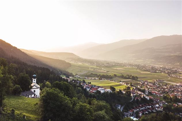
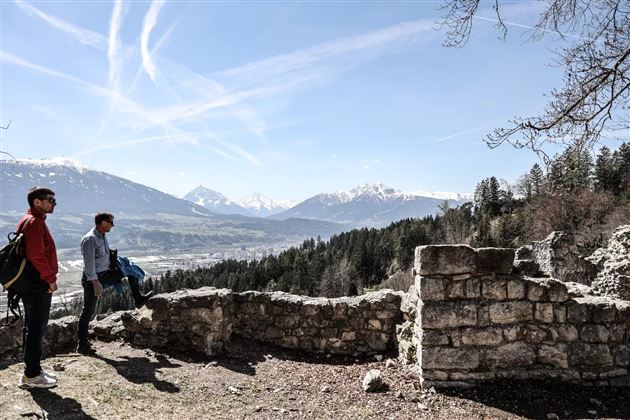
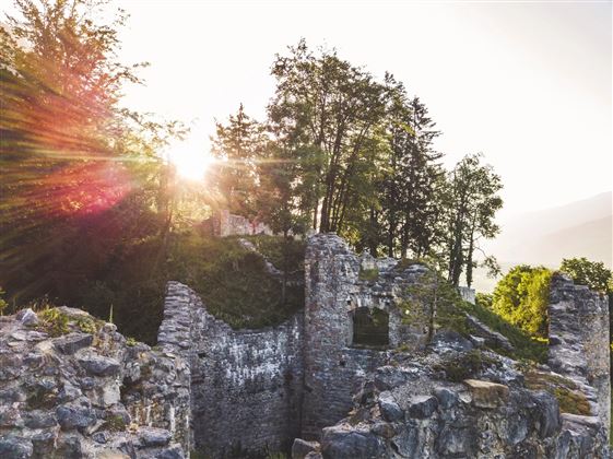
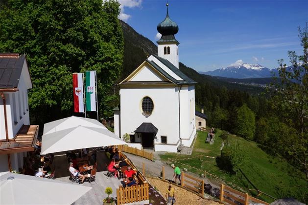
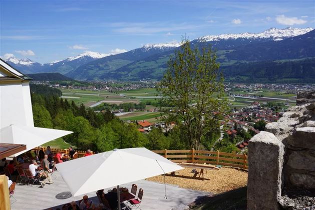
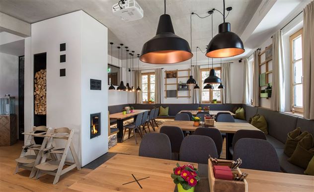
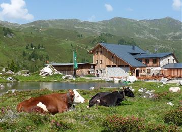
From the Thaurer Almparkplatz over the Thaurer castle to the Romediwirt

Hiking route

1,91 km

00:30 h

86 hm

856 m

Best Time of Year

Jan

Feb

Mar

Apr

May

Jun

Jul

Aug

Sep

Oct

Nov

Dec

Features & Properties

Stamina

Experience

Landscape

Map & Elevation Profile

Similar Tour Suggestions

Über die Zunterköpfe oberhalb von Thaur

Hard

Hiking

Hiking route

11,25 km

05:30 h

1272 hm

1271 hm

1963 m

Via Alpina - Red trail - From the Inn Valley south

Hard

Hiking

Long-Distance Hiking

60,05 km

23:15 h

2969 hm

4345 hm

2794 m

Through the Halltal to the natural jewel Issanger

Medium

Hiking

Hiking route

13,70 km

05:10 h

897 hm

1668 m

Senselerweg: Himmelreich über Volderwildbad zur Voldertalhütte

Medium

Hiking

Long-Distance Hiking

13,88 km

04:30 h

826 hm

120 hm

1382 m

Stage 2 Wattens to Tulfes

Hard

Hiking

Long-Distance Hiking

19,22 km

06:30 h

1147 hm

788 hm

1561 m

Stage 5 - Karwendel Höhenweg

Hard

Hiking

Long-Distance Hiking

9,09 km

06:00 h

800 hm

1100 hm

2694 m

Senselerweg: Zehenter Alm über Naviser Kreuzjoch bis Toldern

Medium

Hiking

Hiking route

14,68 km

06:30 h

882 hm

1250 hm

2516 m

Medium

Hiking

Hiking route

6,43 km

02:00 h

287 hm

280 hm

1626 m