Hiking

Medium

The Inntaler Höhenweg 2000

Long-Distance Hiking

75,75 km

30:40 h

4967 hm

4529 hm

2794 m

Best Time of Year

Jan

Feb

Mar

Apr

May

Jun

Jul

Aug

Sep

Oct

Nov

Dec

Information

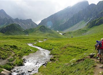
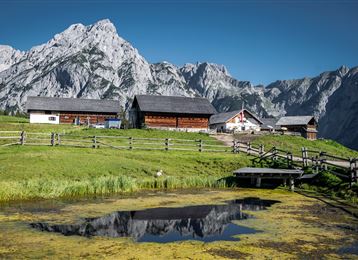
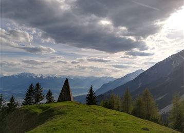
From Innsbruck/Igls, go over Patscherkofel along the Zirbenweg to the Glungezer Hut (2610 m), on the "Glungezer & Geier" ridge route over the "seven Tuxer summits" to the Lizumer Hut (2019 m). From here, the "Inntaler" follows the Central Alpine Trail 02A across the Grafennsjoch to the Weidener Hut, from

Recommended Equipment

The route follows existing paths and trails, is marked and signposted. It can also be hiked in the opposite direction from Kellerjoch to Patscherkofel. "Entrances" and "exits" to the route are possible at every hut.

Features & Properties

Stamina

Experience

Landscape

Map & Elevation Profile

Arrival

Innsbruck - Innsbruck/Igls

Similar Tour Suggestions

Baumkirchen

Easy

Hiking

Hiking route

8,42 km

02:20 h

215 hm

214 hm

820 m

St. Martin

Easy

Hiking

Pilgrim Walk

16,02 km

04:15 h

359 hm

360 hm

920 m

Durch das Halltal auf das Lafatscherjoch

Hard

Hiking

Hiking route

17,51 km

07:30 h

1365 hm

2085 m

Piepmatzweg

Easy

Running

Nature Trail

2,06 km

01:30 h

301 hm

873 m

Into the Polten valley

Easy

Hiking

Hiking route

8,10 km

02:00 h

213 hm

209 hm

1009 m

Kasern

Medium

Hiking

Long-Distance Hiking

9,47 km

04:30 h

1067 hm

218 hm

2489 m

La galerie König-Max

Easy

Running

Nature Trail

5,29 km

02:20 h

717 hm

1494 m

Romediuskirche

Medium

Hiking

Pilgrim Walk

23,86 km

08:15 h

1049 hm

878 hm

977 m