Hiking

Hard

Stage 6 - Karwendel Höhenweg

Long-Distance Hiking

19,57 km

05:30 h

49 hm

835 hm

1766 m

Best Time of Year

Jan

Feb

Mar

Apr

May

Jun

Jul

Aug

Sep

Oct

Nov

Dec

Information

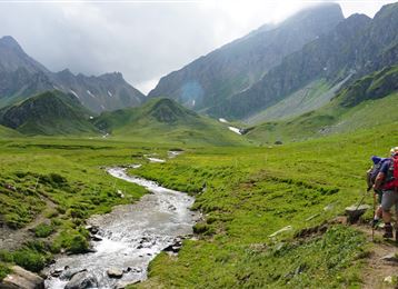
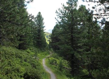
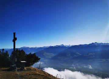
The longest section of the sixth and final stage of the Karwendel Höhenweg trail leads mountaineers along the Isar. This river has its source in Tirol and only enters Germany after passing through Scharnitz.

Recommended Equipment

ankle-high mountain boots, sufficient water

Features & Properties

Stamina

Experience

Landscape

Map & Elevation Profile

Similar Tour Suggestions
Weiter oberhalb der Thaurer Alm

Medium

Hiking

Gartlach

Easy

Hiking

Hiking route

8,64 km

02:30 h

321 hm

331 hm

853 m

Hochmoor

Hard

Hiking

Long-Distance Hiking

16,26 km

09:30 h

1440 hm

1460 hm

2636 m

St. Martin

Easy

Hiking

Pilgrim Walk

16,02 km

04:15 h

359 hm

360 hm

920 m

Der Wegverlauf zwischen Haller und Thaurer Zunterkopf

Hard

Hiking

Hiking route

11,25 km

05:30 h

1272 hm

1271 hm

1963 m

Wurzelschellweg

Medium

Hiking

Hiking route

6,10 km

02:00 h

378 hm

892 m

Richtung Rinner Alm

Medium

Hiking

Hiking route

11,12 km

04:00 h

759 hm

772 hm

1740 m

Der aussichtsreiche Zirbenweg - Wandergenuss auf 2000 Meter Seehöhe

Easy

Hiking

Hiking route

7,35 km

02:30 h

89 hm

178 hm

2061 m