Hiking

Medium

Voldertal circular hike

Hiking route

9,65 km

03:30 h

75 hm

707 hm

1561 m

Best Time of Year

Jan

Feb

Mar

Apr

May

Jun

Jul

Aug

Sep

Oct

Nov

Dec

Information

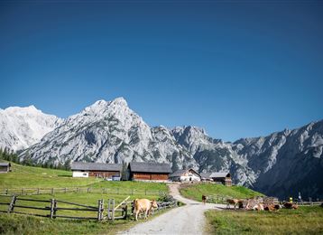
Take the Glungezerbahn to the Halsmarter mid-station. From here, enter the Voldertal valley, cross alpine pasture terrain to the Voldertal Hut, and return via the Stiftsalm and Windegg to the valley station of the Glungezerbahn.

Features & Properties

Stamina

Experience

Landscape

Map & Elevation Profile

Arrival

Tulfes Glungezerbahn

Similar Tour Suggestions
Molyptänbergbau

Medium

Hiking

Long-Distance Hiking

11,24 km

06:30 h

851 hm

932 hm

2959 m

Medium

Hiking

Hiking route

6,43 km

02:00 h

287 hm

280 hm

1626 m

Karwendelblick

Medium

Hiking

Hiking route

9,44 km

04:30 h

619 hm

620 hm

1502 m

Neunerspitz

Hard

Hiking

Hiking route

10,87 km

04:00 h

794 hm

793 hm

2668 m

Durch das Halltal auf das Lafatscherjoch

Hard

Hiking

Hiking route

17,51 km

07:30 h

1365 hm

2085 m

Von der Tulfeinalm auf den Schartenkogel

Medium

Hiking

Hiking route

4,26 km

02:00 h

273 hm

2309 m

Bergsagen Weitwanderweg

Hard

Hiking

Long-Distance Hiking

19,22 km

06:30 h

1147 hm

788 hm

1561 m

Into the Polten valley

Easy

Hiking

Hiking route

8,10 km

02:00 h

213 hm

209 hm

1009 m