Hiking

Medium

Glungezer round

Mountain Hike

11,41 km

04:00 h

722 hm

704 hm

2668 m

Best Time of Year

Jan

Feb

Mar

Apr

May

Jun

Jul

Aug

Sep

Oct

Nov

Dec

Information

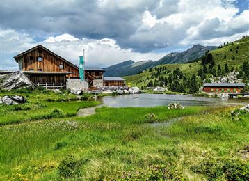
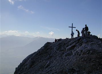
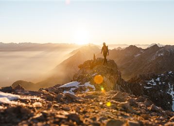
From the Glungezerbahn mountain station - along the Zirbenweg to the Boscheben guesthouse - a short return and turn right onto the Inntaler Höhenweg, with a detour to the Sonnenspitze (2639 m) and the Glungezer (2678 m), back to the Glungezerbahn mountain station.

Features & Properties

Stamina

Experience

Landscape

Map & Elevation Profile

Arrival

Exit Hall Mitte - Tulfes

Similar Tour Suggestions
Lizumer Hütte - Tuxer Alpen

Medium

Hiking

Mountain Hike

19,72 km

06:30 h

1123 hm

1085 hm

2435 m

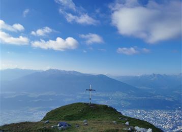
View into the Lower Inn Valley with the Neunerspitze in the foreground

Hard

Hiking

Mountain Hike

14,58 km

05:00 h

1077 hm

1008 hm

2668 m

Bettelwurfhütte

Hard

Hiking

Mountain Hike

18,31 km

09:00 h

1495 hm

2184 m

Avant le sommet

Hard

Via Ferrata

Via Ferrata

2,13 km

04:00 h

713 hm

2239 m

View of the Patscherkofel

Hard

Hiking

Mountain Hike

15,63 km

08:00 h

767 hm

1365 hm

2794 m

Von der Tulfeinalm auf den Glungezer Gipfel

Medium

Hiking

Mountain Hike

8,66 km

04:00 h

754 hm

2676 m

Hallerangeralm

Medium

Hiking

Die Seenplatte der blauen Seen

Medium

Hiking

Mountain Hike

16,43 km

08:00 h

1507 hm

1512 hm

2637 m