Hiking

Medium

Über die Thaurer und Vintl Alm

Hiking route

13,76 km

05:00 h

1037 hm

1027 hm

1600 m

Best Time of Year

Jan

Feb

Mar

Apr

May

Jun

Jul

Aug

Sep

Oct

Nov

Dec

Information

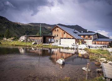
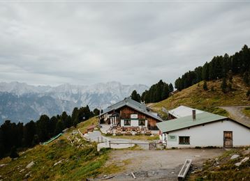
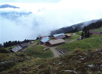
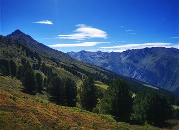
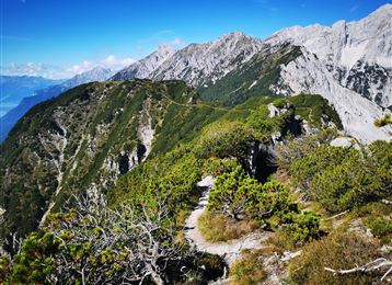
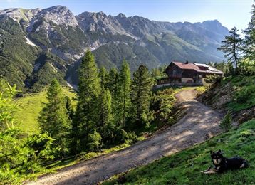
From Thaur we hike up to the Romediwirt and follow the signs to the Thaurer Alm. Behind the Thaurer Alm we follow the track towards the Vintl Alm. From the Vintl Alm we continue over a narrow forest path with a great view and then down to the Rumer Alm

Read More...

Features & Properties

Stamina

Experience

Landscape

Map & Elevation Profile

Arrival

Thaur - Thaurer Alm Wanderparkplatz

Similar Tour Suggestions

Historical circular walk

Easy

Running

Nature Trail

7,74 km

03:30 h

183 hm

666 m

Stage 5 Gnadenwald to Mairbach/Gnadenwald

Medium

Hiking

Long-Distance Hiking

17,65 km

05:30 h

694 hm

684 hm

1527 m

Munich - Venice: Through the Wattental to the Lizumer Hütte

Medium

Hiking

Long-Distance Hiking

26,69 km

08:00 h

1604 hm

377 hm

2019 m

Auf einen kleinen Aussichtsgipfel neben der Thaurer Alm: Thaurer Rosskopf

Medium

Hiking

Von Rinn über die Rinner Alm zur Kriegerkapelle

Medium

Hiking

Hiking route

11,12 km

04:00 h

759 hm

772 hm

1740 m

The Stone Pine Path

Easy

Hiking

Hiking route

7,35 km

02:30 h

89 hm

178 hm

2061 m

Poltentalrunde im Frühjahr

Easy

Hiking

Hiking route

5,78 km

01:45 h

203 hm

994 m

Baumkirchner Tal

Easy

Hiking

Hiking route

8,42 km

02:20 h

215 hm

214 hm

820 m