Historic Salt Trail

Nature Trail recommended route

Historic Salt Trail

Nature Trail · Hall-Wattens
Logo Tourismusverband Region Hall-Wattens
Responsible for this content
Tourismusverband Region Hall-Wattens Verified partner  Explorers Choice 
  • Der König-Max Stollen
    Der König-Max Stollen
    Photo: Hall Wattens, Tourismusverband Region Hall-Wattens
Hike along the traces of salt mining to the manor house.
easy
Distance 10.7 km
3:52 h
750 m
739 m
1,518 m
773 m
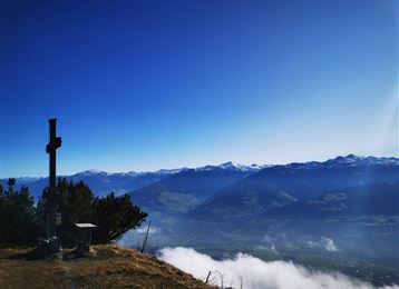
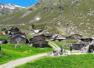
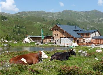
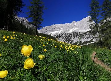
The natural scenery along the historic brine hiking trail is unique: rugged vertical limestone walls, fascinating vegetation, emerald green brooks ... and at the end a look into one of the eight main tunnels.

Author’s recommendation

An excursion for the whole family!
Profile picture of Anne W.
Author
Anne W. 
Update: July 29, 2020
Difficulty
easy
Stamina
Experience
Landscape
Highest point
1,518 m
Lowest point
773 m
Best time of year
Jan
Feb
Mar
Apr
May
Jun
Jul
Aug
Sep
Oct
Nov
Dec

Track types

Show elevation profile

Rest stops

St. Magdalena

Safety information

Don´t hike during strong rains!

Start

Halltal Parkplatz (773 m)
Coordinates:
DD
47.307956, 11.518686
DMS
47°18'28.6"N 11°31'07.3"E
UTM
32T 690376 5242463
w3w 
///upwards.undergrowth.bunk

Destination

Halltal Parkplatz

Turn-by-turn directions

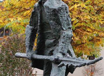
Salt mining has left is mark in numerous parts of the Halltal valley, for salt was mined from tunnels for more than 700 years. Hike along the salt trail and follow the tracks of salt mining from Maximilian´s Fountain to the Herrenhaus, where you can venture into one of the main eight shafts which were cut into the mountain from 1272 to 1808.

Public transport

Public-transport-friendly

Bus 502/503 to "Eichat Bettelwurfsiedlung"

By road

Hall - Absam - Halltal Parkplatz

Parking

parking at the entrance of the Halltal

Coordinates

DD
47.307956, 11.518686
DMS
47°18'28.6"N 11°31'07.3"E
UTM
32T 690376 5242463
w3w 
///upwards.undergrowth.bunk
Arrival by train, car, foot or bike

Similar routes nearby

  • Path of Contemplation
  • Tree path
  • Historical circular walk
  • Zum Wasserradl
  • Piepmatzweg
  • Zwugl - Runde am Glungezer
 These suggestions were generated by our system
Difficulty
easy
Distance
10.7 km
Duration
3:52 h
Ascent
750 m
Descent
739 m
Highest point
1,518 m
Lowest point
773 m
Public-transport-friendly Out and back Refreshment stops available Family-friendly Cultural/historical interest

Statistics

  • Content
  • Show images Hide images
Features
Maps and trails
  • 1 Waypoints
  • 1 Waypoints
Distance  km
Duration : h
Ascent  m
Descent  m
Highest point  m
Lowest point  m
Push the arrows to change the view

Please wait

Accommodation is searched

Please be patient for a little more time

All data will be loaded in an instant