Hiking

Medium

Thaurer Zunterkopf - the little neighbour of the Bettelwurf

Hiking route

13,48 km

05:00 h

1304 hm

1303 hm

1915 m

Best Time of Year

Jan

Feb

Mar

Apr

May

Jun

Jul

Aug

Sep

Oct

Nov

Dec

Information

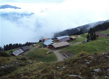
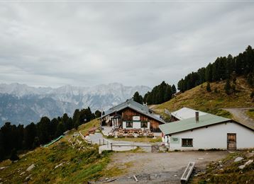
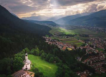
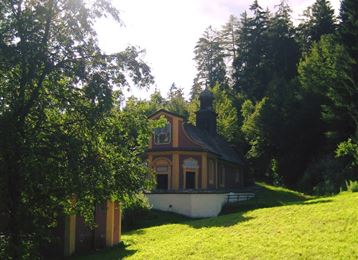
Starting from the village centre of Thaur, the trail continues via the Romedius Church to the Thaurer Alm. From there, either via the Kaisersäule or through the Törl Schlung up to the Thaurer Zunterkopf.

Features & Properties

Stamina

Experience

Landscape

Map & Elevation Profile

Arrival

Thaur

Similar Tour Suggestions

Munich - Venice: Through the Wattental to the Lizumer Hütte

Medium

Hiking

Long-Distance Hiking

26,69 km

08:00 h

1604 hm

377 hm

2019 m

Closed
Vom Schlosshof auf die Thaurer Alm

Medium

Hiking

Hiking route

7,31 km

04:15 h

636 hm

635 hm

1462 m

Stage 3 from Tulfes to Thaur

Medium

Hiking

Long-Distance Hiking

13,76 km

04:30 h

237 hm

565 hm

1009 m

Über die Zunterköpfe oberhalb von Thaur

Hard

Hiking

Hiking route

11,25 km

05:30 h

1272 hm

1271 hm

1963 m

Senselerweg: Zehenter Alm über Naviser Kreuzjoch bis Toldern

Medium

Hiking

Hiking route

14,68 km

06:30 h

882 hm

1250 hm

2516 m

The Way of St James in the Tyrol

Easy

Hiking

Pilgrim Walk

16,02 km

04:15 h

359 hm

360 hm

920 m

On the panoramic Hochmahdkopf

Medium

Hiking

Hiking route

8,13 km

04:00 h

963 hm

958 hm

1736 m

Almwanderung Außermelang-Alm

Easy

Hiking

Hiking route

7,81 km

02:45 h

473 hm

1871 m

Closed