PREMIUM: Sonnenplateau-Runde Tulfes

Winter Hiking recommended route

PREMIUM: Sonnenplateau-Runde Tulfes

Winter Hiking · Hall-Wattens
Logo Tourismusverband Region Hall-Wattens
Responsible for this content
Tourismusverband Region Hall-Wattens Verified partner  Explorers Choice 
  • Sonnenplateau-Runde
    Sonnenplateau-Runde
    Photo: Hall Wattens, Tourismusverband Region Hall-Wattens
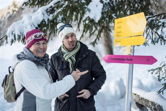
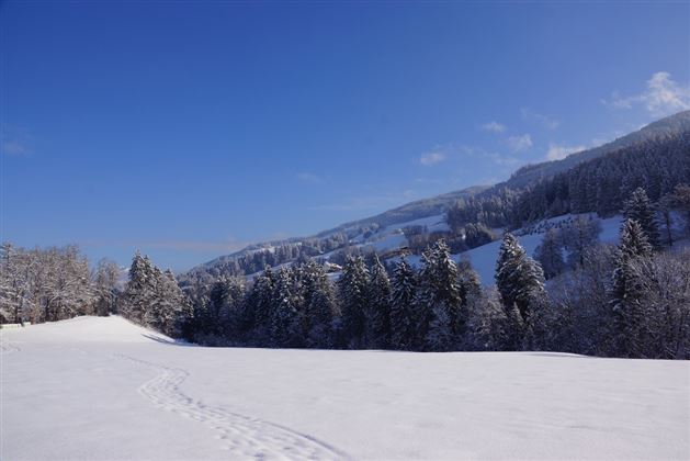
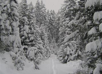
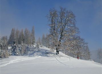
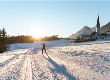
Sunny winter hike with great views. Not only the deeply snow-covered Karwendel, but also the ever-white Stubai Glacier accompanies us on this cleared winter hiking trail.

Along the romantic winter forest, we hike in a westerly direction with a view of the Tulfer Plateau. The warming winter sun accompanies us for a good stretch afterwards and makes the snow glisten and sparkle!

easy
Distance 7.7 km
2:30 h
202 m
204 m
1,009 m
805 m
Profile picture of Anne W.
Author
Anne W. 
Update: July 07, 2023
Difficulty
easy
Stamina
Experience
Landscape
Highest point
1,009 m
Lowest point
805 m
Best time of year
Jan
Feb
Mar
Apr
May
Jun
Jul
Aug
Sep
Oct
Nov
Dec

Track types

Show elevation profile

Start

Parkplatz Glungezerbahn in Tulfes (931 m)
Coordinates:
DD
47.256748, 11.534336
DMS
47°15'24.3"N 11°32'03.6"E
UTM
32T 691744 5236811
w3w 
///terminal.hotel.rotation

Destination

Parkplatz Glungezerbahn in Tulfes

Turn-by-turn directions

Vom Parkplatz bei der Glungezerbahn geht es über den Speckbacherweg am Waldrand bis nach Rinn. Durch Rinner Ortsgebiet bis Judenstein und von dort über Waldwege und Steige am Lavierenbach entlang bis zum Poltenhof und steil hinauf durch einen romantischen, unberührten Wald nach Tulfes.

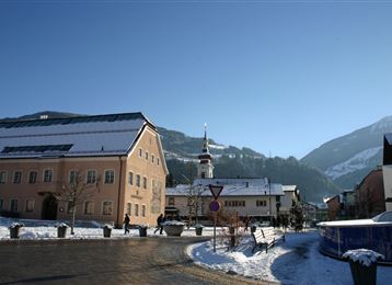
Bei der kleinen Kapelle am Wegrand wandert man nach links, durch den Ort, bei der Kirche vorbei zurück zum Parkplatz bei der Glungezerbahn.

Public transport

Public-transport-friendly

Mit der Linie 540 bis Tulfes

By road

Hall- Tulfes

Parking

Parkplatz Glungezerbahn in Tulfes

Coordinates

DD
47.256748, 11.534336
DMS
47°15'24.3"N 11°32'03.6"E
UTM
32T 691744 5236811
w3w 
///terminal.hotel.rotation
Arrival by train, car, foot or bike

Similar routes nearby

  • Tulfes - Poltental Rundwanderweg
  • Winterwanderung Tulfer Lavieren
  • Winterwanderung Speckbacherweg
  • Winter-Spazierrunde Tulfes
  • Teufelsmühle - Winterwanderung
 These suggestions were generated by our system
Difficulty
easy
Distance
7.7 km
Duration
2:30 h
Ascent
202 m
Descent
204 m
Highest point
1,009 m
Lowest point
805 m
Public-transport-friendly Round trip Scenic Family-friendly Way cleared

Statistics

  • Content
  • Show images Hide images
Features
Maps and trails
Distance  km
Duration : h
Ascent  m
Descent  m
Highest point  m
Lowest point  m
Push the arrows to change the view

Please wait

Accommodation is searched

Please be patient for a little more time

All data will be loaded in an instant