Skatingspur Gnadenwald

Cross-Country Skiing recommended route

Skatingspur Gnadenwald

Cross-Country Skiing · Hall-Wattens
Logo Tourismusverband Region Hall-Wattens
Responsible for this content
Tourismusverband Region Hall-Wattens Verified partner  Explorers Choice 
  • Photo: Moritz Klee, Tourismusverband Region Hall-Wattens
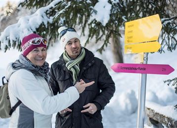
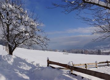
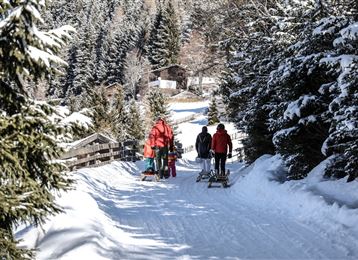
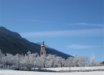
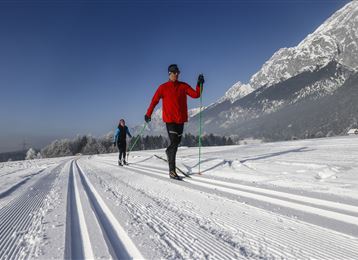
Glide silently on skis through the snowy forest - you will find over 20km of groomed trails (subject to snow cover) on the sunshine plateau in the Gnadenwald recreational area.
Skating
easy
Distance 6.4 km
1:58 h
181 m
181 m
888 m
807 m
Cross-country trail information:Classic trail: 13 kmSkating trail: 8 km
Profile picture of Hall Wattens
Author
Hall Wattens
Update: December 12, 2022
Difficulty
easy
Technique
Stamina
Experience
Landscape
Highest point
888 m
Lowest point
807 m
Best time of year
Jan
Feb
Mar
Apr
May
Jun
Jul
Aug
Sep
Oct
Nov
Dec

Track types

Show elevation profile

Tips and hints

http://www.hall-wattens.at/de/langlaufen-1.html


Start

Absam - Sparkassen Parkplatz (838 m)
Coordinates:
DD
47.313240, 11.538671
DMS
47°18'47.7"N 11°32'19.2"E
UTM
32T 691868 5243099
w3w 
///conceive.port.shortens

Destination

Absam - Sparkassen Parkplatz

Public transport

Es besteht die Möglichkeit mit dem "Regiobus 3" von Hall die Loipe direkt zu erreichen.

Die Station "Gnadenwald Wiesenhof" befindet sich unmittelbar beim Start der Loipe.


By road

Inntalautobahn A12, Ausfahrt Hall Mitte, dann einfach weiter über die Vebindgsstrasse Hall in Tirol - Absam - Gnadenwald

Parking

Beim Ausgangspunkt befindet sich ein Parkplatz

Coordinates

DD
47.313240, 11.538671
DMS
47°18'47.7"N 11°32'19.2"E
UTM
32T 691868 5243099
w3w 
///conceive.port.shortens
Arrival by train, car, foot or bike

Equipment

Langlaufausrüstung wird verliehen von:

  • Skiverleih Total Skischule
  • Skiverleih Schischule Glungezer

Nähere Informationen:

http://www.hall-wattens.at/de/schiverleih.html


Similar routes nearby

  • Loipe Gnadenwald
  • Tulfes-Rinn - Panorama - Loipe 3
  • Loipe Tulfes Rinn - Panorama-Loipe 1
  • Tulfes-Rinn - Panorama-Loipe 2
  • Tulfes - Golf Loipe 1
 These suggestions were generated by our system
Cross-country skiing technique
Skating
Difficulty
easy
Distance
6.4 km
Duration
1:58 h
Ascent
181 m
Descent
181 m
Highest point
888 m
Lowest point
807 m
Skating

Statistics

  • Content
  • Show images Hide images
Features
Maps and trails
Distance  km
Duration : h
Ascent  m
Descent  m
Highest point  m
Lowest point  m
Push the arrows to change the view

Please wait

Accommodation is searched

Please be patient for a little more time

All data will be loaded in an instant