Tobboganing Volderberg

Sledding recommended route

Tobboganing Volderberg

Sledding · Hall-Wattens
Logo Tourismusverband Region Hall-Wattens
Responsible for this content
Tourismusverband Region Hall-Wattens Verified partner  Explorers Choice 
  • Winterlandschaft
    Winterlandschaft
    Photo: Hall Wattens, Tourismusverband Region Hall-Wattens
For families and sports enthusiasts
easy
Distance 2.1 km
1:00 h
318 m
1 m
1,668 m
1,350 m


Author’s recommendation

Very suitable for families with children.
Profile picture of Hall Wattens
Author
Hall Wattens
Update: December 13, 2022
Difficulty
easy
Stamina
Experience
Landscape
Highest point
1,668 m
Lowest point
1,350 m
Best time of year
Jan
Feb
Mar
Apr
May
Jun
Jul
Aug
Sep
Oct
Nov
Dec

Track types

Dirt road 64.04%Forested/wild trail 35.95%
Dirt road
1.4 km
Forested/wild trail
0.8 km
Show elevation profile

Rest stops

Alpenrelax Krepperhütte

Start

Parkplatz Krepperhütte (1,349 m)
Coordinates:
DD
47.257135, 11.573413
DMS
47°15'25.7"N 11°34'24.3"E
UTM
32T 694699 5236951
w3w 
///balance.ringtone.efficient

Destination

Höppergboden

Turn-by-turn directions

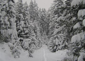
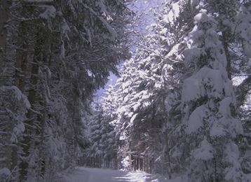
This superbly-groomed toboggan run on the Volderberg offers the perfect conditions for families with children, and also for fast tobogganers wishing to put their skills to the test. Dangerous curves are barrier-protected. After a great downhill run, a stopover at the Krepperhütte for refreshments is always an option.

By road

Volders - Follow the signs to Großvolderberg and turn off towards Krepperhütte

Parking

Sufficient parking spaces are available below and above the Krepperhütte

Coordinates

DD
47.257135, 11.573413
DMS
47°15'25.7"N 11°34'24.3"E
UTM
32T 694699 5236951
w3w 
///balance.ringtone.efficient
Arrival by train, car, foot or bike

Similar routes nearby

  • Illuminated natural tobbogan run at Vögelsberg
  • Tobboganing Kreuztaxen
  • Rodelbahn am Glungezer
  • Tobboganing in the Halltal
  • Tobogganing in the Mölstal/Wattenberg
 These suggestions were generated by our system
Difficulty
easy
Distance
2.1 km
Duration
1:00 h
Ascent
318 m
Descent
1 m
Highest point
1,668 m
Lowest point
1,350 m
Round trip Scenic Refreshment stops available Family-friendly Insider tip

Statistics

  • Content
  • Show images Hide images
Features
Maps and trails
  • 1 Waypoints
  • 1 Waypoints
Distance  km
Duration : h
Ascent  m
Descent  m
Highest point  m
Lowest point  m
Push the arrows to change the view

Please wait

Accommodation is searched

Please be patient for a little more time

All data will be loaded in an instant