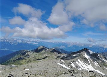
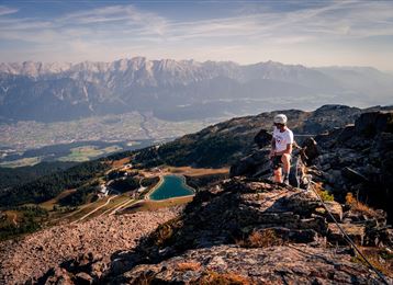
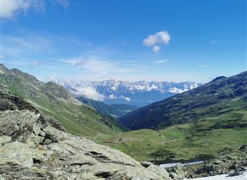
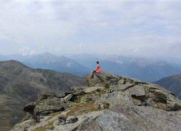
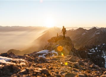
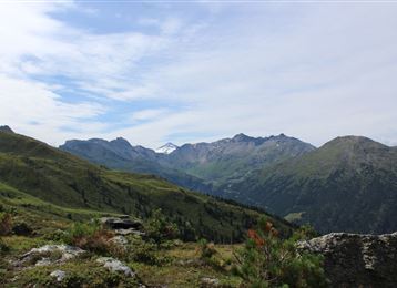
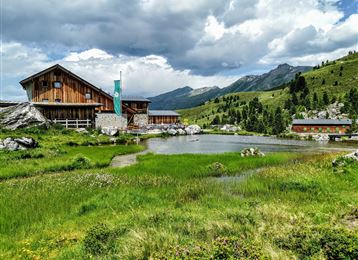
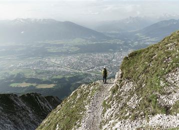
Take downhill trail No. 333 from Mount Glungezer and then turn left into the valley. The route heads uphill along the flank of Mount Glungezer to ‘G’schriebener Stoan’, the Blue Lakes and to Seegrube in the Upper Viggartal valley. Take the same route back or downhill route to Meissnerhaus to St. Peter, Mühltal in the Viggartal valley.
Public transport
Die Talstation der Glungezerbahn kann bequem mit der "Linie 4134" von Innsbruck u. Hall in Tirol erreichbar.
Getting there
Von der Autobahn - Abfahrt Hall Mitte - Tulfes
Parking
Direkt bei der Talstation befinden sich kostenlose Parkmöglichkeiten.
Arrival by train, car, foot or bike
Similar tours nearby
Glungezer Runde
Von der Tulfeinalm auf den Glungezer Gipfel
Glungezer & Geier - High Altitude Trail
Naviser Jöchl
4 peak tour at the Glungezer panoramic trail
Hirzer
Wattental - Möstal - Lizumer Mountain Hut
These suggestions were created automatically.
Difficulty
moderate
Distance
15.6 km
Duration
8:00 h
Ascent
1609 m
Descent
1554 m
In and outWith refreshment stopsGeological highlightsBotanical highlightsMountain railway ascent/descent
Statistics
: h
km
m
m
Highest point
m
Lowest point
m
Show elevation profile
Hide elevation profile
For changing the range of view, push the arrows together.