Hiking

Hard

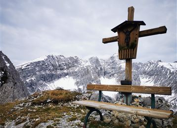
Kreuzjöchl – an inconspicuous summit in the Karwendel

Mountain Hike

15,01 km

07:25 h

1451 hm

1442 hm

2136 m

Best Time of Year

Jan

Feb

Mar

Apr

May

Jun

Jul

Aug

Sep

Oct

Nov

Dec

Information

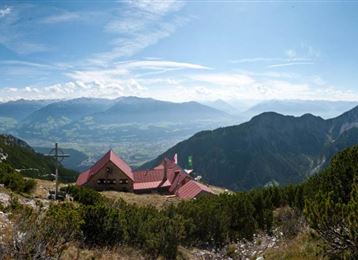
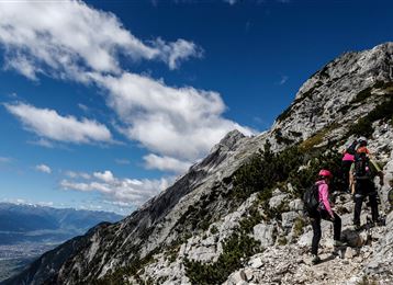
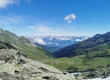
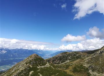
With several refreshment options available, which provide a reward after the tour, this route is a beautiful "border route" between the Inn Valley and Karwendel. You steadily climb up to 2,121 m and are rewarded here with a breathtaking view between two worlds!

Features & Properties

Stamina

Experience

Landscape

Map & Elevation Profile

Arrival

In Thaur near Hotel Stangl continue uphill towards the Thaurer Alm parking lot.

Similar Tour Suggestions
Hundskopf summit

Hard

Hiking

Mountain Hike

4,91 km

06:00 h

1353 hm

50 hm

2239 m

Bettelwurfhütte

Hard

Hiking

Mountain Hike

18,31 km

09:00 h

1495 hm

2184 m

Goetheweg mit Blick auf Innsbruck

Medium

Hiking

Mountain Hike

15,87 km

05:55 h

436 hm

1919 hm

2277 m

Blick in das Unterinntal mit der Neunerspitze im Vordergrund

Hard

Hiking

Mountain Hike

14,58 km

05:00 h

1077 hm

1008 hm

2668 m

Blick zum Patscherkofel

Hard

Hiking

Mountain Hike

15,63 km

08:00 h

767 hm

1365 hm

2794 m

View out of the Volder Valley to the Karwendel

Medium

Hiking

Mountain Hike

29,31 km

08:00 h

1710 hm

2478 m

Aufstieg zum Glungezer über den Schartenkogel

Medium

Hiking

Mountain Hike

11,41 km

04:00 h

722 hm

704 hm

2668 m

Außermelan Alm Niederleger

Hard

Hiking

Mountain Hike

13,74 km

06:30 h

1221 hm

2625 m