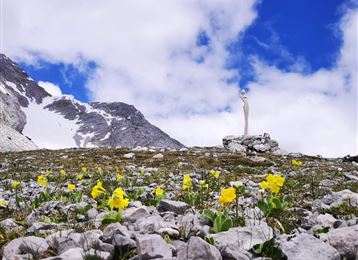
Munich - Venice: From Halleranger to Hall

Long-Distance Hiking recommended route

Munich - Venice: From Halleranger to Hall

Long-Distance Hiking · Hall-Wattens
Logo Tourismusverband Region Hall-Wattens
Responsible for this content
Tourismusverband Region Hall-Wattens Verified partner  Explorers Choice 
  • Hallerangerhaus
    Hallerangerhaus
    Photo: DAV/Stefan Wolf
Munich to Venice on foot - a unique trip that also takes you in 3 stages to the Region Hall Wattens
difficult
Distance 15.8 km
6:30 h
476 m
1,668 m
2,085 m
561 m
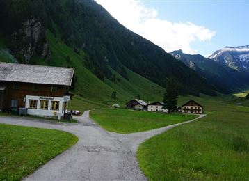
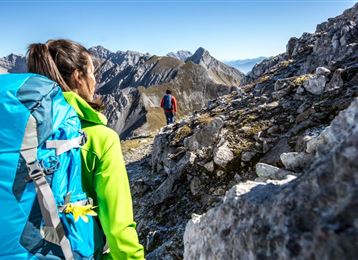
From the Hallerangerhaus or Halleranger- Alm we walk over the Lafatscherjoch and the Issjöchl to the manor houses - the former administration building of the Hall salt mine. There you follow the path out through the Halltal and can stop for a short rest at the Alpengasthof St. Magdalena. The old escape route leads to the entrance of the Halltal.

Down to Absam or Hall and today's daily stage can be finished here.


Once here you can choose the alpine classic variant I via Absam - Hall - Tulfes - Glungezerhütte - Rosenjoch - Naviser Jöchl - Lizumerhütte.

Or you can take the easier and more comfortable path Variant II via Gnadenwald - Fritzens - Wattens - Wattener Lizum - Lizumerhütte.

Author’s recommendation

End the evening in Hall and get the essentials for the next days in the mountains.
Profile picture of Anne W.
Author
Anne W. 
Update: May 20, 2022
Difficulty
difficult
Technique
Stamina
Experience
Landscape
Highest point
2,085 m
Lowest point
561 m
Best time of year
Jan
Feb
Mar
Apr
May
Jun
Jul
Aug
Sep
Oct
Nov
Dec

Track types

Show elevation profile

Rest stops

Halleranger Alm
Hallerangerhaus
St. Magdalena

Tips and hints

München Venedig

Hall-Wattens

Hallerangerhaus

Halleranger Alm


Start

München (1,752 m)
Coordinates:
DD
47.355532, 11.479914
DMS
47°21'19.9"N 11°28'47.7"E
UTM
32T 687277 5247656
w3w 
///unresolved.colluded.altered

Destination

Venedig

Coordinates

DD
47.355532, 11.479914
DMS
47°21'19.9"N 11°28'47.7"E
UTM
32T 687277 5247656
w3w 
///unresolved.colluded.altered
Arrival by train, car, foot or bike

Similar routes nearby

  • The Eagles´ Trail – From mountain solitude into the town (12)
  • Stage 6 - Karwendel Höhenweg
  • Stage 5 - Karwendel Höhenweg
  • Stage 4 - Karwendel Höhenweg
  • Munich - Venice: Through the Wattental to the Lizumer Hütte
 These suggestions were generated by our system
Difficulty
difficult
Distance
15.8 km
Duration
6:30 h
Ascent
476 m
Descent
1,668 m
Highest point
2,085 m
Lowest point
561 m
Multi-stage route Refreshment stops available

Statistics

  • Content
  • Show images Hide images
Features
Maps and trails
  • 3 Waypoints
  • 3 Waypoints
Distance  km
Duration : h
Ascent  m
Descent  m
Highest point  m
Lowest point  m
Push the arrows to change the view

Please wait

Accommodation is searched

Please be patient for a little more time

All data will be loaded in an instant