Running

Easy

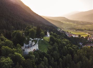
Historical circular walk

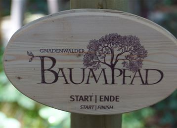
Nature Trail

7,74 km

03:30 h

183 hm

666 m

Best Time of Year

Jan

Feb

Mar

Apr

May

Jun

Jul

Aug

Sep

Oct

Nov

Dec

Information

A hike for everyone who wants to combine exercise with culture.

Features & Properties

Stamina

Experience

Landscape

Map & Elevation Profile

Arrival

Wattens- Volders

Similar Tour Suggestions
Haneburger

Medium

Hiking

Hiking route

11,84 km

07:00 h

1205 hm

1481 hm

2579 m

Rundwanderweg Voldertal

Medium

Hiking

Hiking route

9,65 km

03:30 h

75 hm

707 hm

1561 m

Über die Thaurer Alm zum Törl und in das Halltal

Medium

Hiking

Hiking route

13,45 km

05:00 h

1179 hm

1058 hm

1804 m

St. Martin - Hinterhornalm - Walderalm

Medium

Hiking

Hiking route

5,56 km

02:30 h

700 hm

107 hm

1532 m

Senselerweg: Vom Pfitscherjochhaus zur Brixnerhütte

Hard

Long-Distance Hiking

16,26 km

09:30 h

1440 hm

1460 hm

2636 m

Through the Halltal to the natural jewel Issanger

Medium

Hiking

Hiking route

13,70 km

05:10 h

897 hm

1668 m

Wattens - Kolsass

Easy

Hiking

Hiking route

8,64 km

02:30 h

321 hm

331 hm

853 m

Entlang des Voldertalbaches zur Steinkasernalm

Medium

Hiking

Hiking route

9,55 km

02:30 h

907 hm

24 hm

1999 m