Hiking

Easy

Along the Speckbacherweg

Hiking route

17,35 km

04:30 h

477 hm

489 hm

1023 m

Best Time of Year

Jan

Feb

Mar

Apr

May

Jun

Jul

Aug

Sep

Oct

Nov

Dec

Information

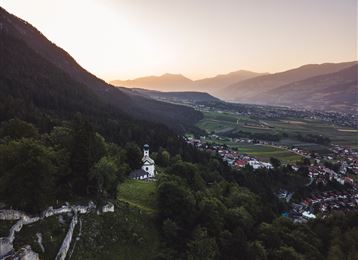
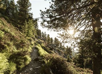
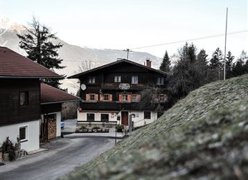
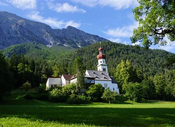
With slight ups and downs, the Speckbacherweg leads along the forest edge to Sistrans. It goes back to Tulfes across meadows.

Features & Properties

Stamina

Experience

Landscape

Map & Elevation Profile

Similar Tour Suggestions
Steinkasernalm

Hard

Hiking

Hiking route

9,93 km

02:30 h

934 hm

62 hm

1999 m

Waterwheel

Easy

Running

Nature Trail

2,58 km

00:47 h

86 hm

80 hm

1009 m

The König-Max Stollen

Easy

Running

Nature Trail

5,29 km

02:20 h

717 hm

1494 m

Bergsagen long-distance hiking route

Medium

Hiking

Long-Distance Hiking

13,76 km

04:30 h

237 hm

565 hm

1009 m

Montée au Glungezer

Medium

Hiking

Long-Distance Hiking

75,75 km

30:40 h

4967 hm

4529 hm

2794 m

Hinauf auf den Largoz

Medium

Hiking

Hiking route

6,92 km

05:00 h

853 hm

852 hm

2204 m

Zirmweg

Medium

Hiking

Schwarzbrunn

Medium

Hiking

Hiking route

11,83 km

02:00 h

510 hm

514 hm

1584 m