Baumkirchner Tal

Hiking route recommended route

Baumkirchner Tal

Hiking route · Hall-Wattens
Logo Tourismusverband Region Hall-Wattens
Responsible for this content
Tourismusverband Region Hall-Wattens Verified partner  Explorers Choice 
  • Baumkirchen
    Baumkirchen
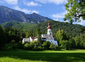
    Photo: Hall Wattens, Tourismusverband Region Hall-Wattens
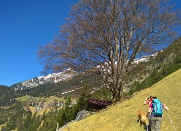
Schöne Runde zwischen Mils und Baumkirchen.
easy
Distance 7 km
2:05 h
236 m
236 m
790 m
608 m
Profile picture of Hall Wattens
Author
Hall Wattens
Update: July 07, 2023
Difficulty
easy
Stamina
Experience
Landscape
Highest point
790 m
Lowest point
608 m
Best time of year
Jan
Feb
Mar
Apr
May
Jun
Jul
Aug
Sep
Oct
Nov
Dec

Track types

Show elevation profile

Tips and hints

http://www.hall-wattens.at/


Start

Absam - Gnadenwald, Walderkapelle (642 m)
Coordinates:
DD
47.294802, 11.537633
DMS
47°17'41.3"N 11°32'15.5"E
UTM
32T 691856 5241048
w3w 
///snowing.dare.rulebook

Destination

Absam - Gnadenwald, Walderkapelle

Turn-by-turn directions

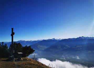
Von der Walderkapelle zur Bogner Aste, links ab durchs Baumkirchner Tal nach Baumkirchen; am Waldrand westwärts Richtung Mils. Beim Bergäcker Abzweigung nördlich wählen zum Mooskreuz, zurück zur Bogner Aste und zur Walderkapelle.

Die Runde ist auch im Uhrzeigersinn möglich.

Public transport

Public-transport-friendly

Sie können vonHall in Tirol den Ausgangspunkt mit der "Linie 3" (Station - Gnadenwald Wiesenhof) den Ausgangpunkt erreichen.

By road

Hall - Absam - Gnadenwald

Parking

Direkt beim Ausgangpunkt befinden sich Parkmöglichkeiten.

Coordinates

DD
47.294802, 11.537633
DMS
47°17'41.3"N 11°32'15.5"E
UTM
32T 691856 5241048
w3w 
///snowing.dare.rulebook
Arrival by train, car, foot or bike

Similar routes nearby

  • Mils - Baumkirchen - Fritzens
  • Die Runstboden Runde im Halltal
  • Lafatscherjoch
  • Through the Halltal to the natural jewel Issanger
  • Zum Alpengasthaus St. Magdalena im Halltal
  • Varied hike along the Adolf Pichler Trail
  • On the panoramic Hochmahdkopf
 These suggestions were generated by our system
Difficulty
easy
Distance
7 km
Duration
2:05 h
Ascent
236 m
Descent
236 m
Highest point
790 m
Lowest point
608 m
Public-transport-friendly Circular route Scenic Family-friendly

Statistics

  • Content
  • Show images Hide images
Features
Maps and trails
Distance  km
Duration : h
Ascent  m
Descent  m
Highest point  m
Lowest point  m
Push the arrows to change the view

Please wait

Accommodation is searched

Please be patient for a little more time

All data will be loaded in an instant