Gnadenwald - Hinterhornalm - Hundskopf

Mountain Hike recommended route

Gnadenwald - Hinterhornalm - Hundskopf

Mountain Hike · Hall-Wattens
Logo Tourismusverband Region Hall-Wattens
Responsible for this content
Tourismusverband Region Hall-Wattens Verified partner  Explorers Choice 
  • Hundskopf Gipfel
    Hundskopf Gipfel
    Photo: Moritz Klee, Tourismusverband Region Hall-Wattens
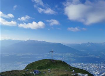
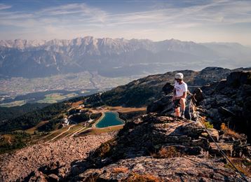
An unobstructed view from the Hundskopf - with a little imagination and the right viewing point, it will become obvious how the Hundskopf (Dog's Head) gets its name
difficult
Distance 13.5 km
6:00 h
1,323 m
1,323 m
2,212 m
889 m
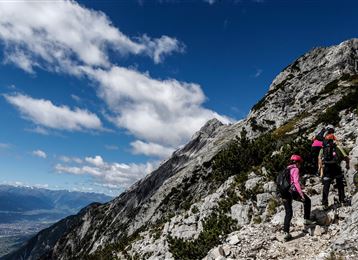
Although it is often climbed, the rope-secured final summit section should not be underestimated. Another option is the more demanding "via ferrata" on the north face.

Author’s recommendation

 Refreshment stops:

Hinterhornalm 

Tel.: +43 (0)664/996 283 55

Profile picture of Hall Wattens
Author
Hall Wattens
Update: April 25, 2022
Difficulty
difficult
Technique
Stamina
Experience
Landscape
Highest point
2,212 m
Lowest point
889 m
Best time of year
Jan
Feb
Mar
Apr
May
Jun
Jul
Aug
Sep
Oct
Nov
Dec

Track types

Show elevation profile

Start

St. Martin/Gnadenwald (889 m)
Coordinates:
DD
47.319490, 11.552810
DMS
47°19'10.2"N 11°33'10.1"E
UTM
32T 692913 5243829
w3w 
///weans.resemble.bathers

Destination

Hundskopf

Turn-by-turn directions

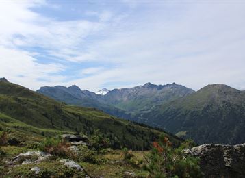
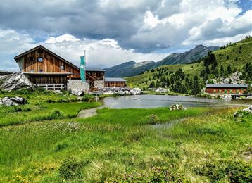
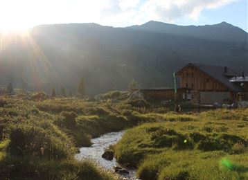
Leave the St Martin car-park (890m) and follow initially the asphalted toll road. After a short distance leave this and follow the signposted path towards the Hinterhornalm (1,522m). At the Hinterhornalm - just to the north of the favoured launching pad for hang-gliders - the path continues up the mountain. It then crosses an extensive field of mountain pines and a small scree slope, which gradually becomes bouldered terrain. After just a few metres of elevation gain, you will reach a small saddle with a magnificent view over the Karwendel range and the rest of the tour.

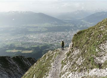
 The marked path divides a little further on. Keep left for the normal route. After crossing another field of mountain pines, the path continues uphill over rope-secured boulders. The hardest section is a narrow ridge, demanding surefootedness, before you reach the summit of the Hundskopf at 2,243m.

Return to the valley by the same route.

Public transport

Regiobus 3

Coordinates

DD
47.319490, 11.552810
DMS
47°19'10.2"N 11°33'10.1"E
UTM
32T 692913 5243829
w3w 
///weans.resemble.bathers
Arrival by train, car, foot or bike

Similar routes nearby

  • Speckkarspitze
  • Through the Halltal (valley) to the Halleranger
  • Through the Halltal to the peak of the Bettelwurf
  • Der Wilde Bande Steig
  • From the Halltal to the Bettelwurf Mountain Hut
 These suggestions were generated by our system
Difficulty
difficult
Distance
13.5 km
Duration
6:00 h
Ascent
1,323 m
Descent
1,323 m
Highest point
2,212 m
Lowest point
889 m
Out and back Scenic Refreshment stops available Summit route

Statistics

  • Content
  • Show images Hide images
Features
Maps and trails
  • 1 Waypoints
  • 1 Waypoints
Distance  km
Duration : h
Ascent  m
Descent  m
Highest point  m
Lowest point  m
Push the arrows to change the view

Please wait

Accommodation is searched

Please be patient for a little more time

All data will be loaded in an instant