From the Halltal to the Bettelwurf Mountain Hut

Mountain Hike recommended route

From the Halltal to the Bettelwurf Mountain Hut

Mountain Hike · Hall-Wattens
Logo Tourismusverband Region Hall-Wattens
Responsible for this content
Tourismusverband Region Hall-Wattens Verified partner  Explorers Choice 
  • Bettelwurfhütte
    Bettelwurfhütte
    Photo: Alpenverein Innsbruck, ÖAV-Hüttenfinder
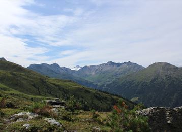
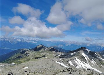
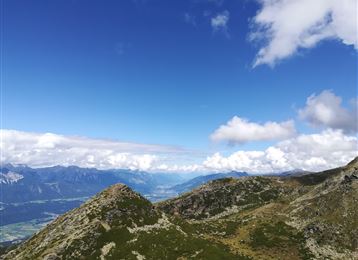
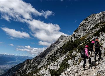
Throught the Halltal we take the trail up to the Bettwurf Hut
difficult
Distance 18.2 km
9:00 h
1,581 m
1,581 m
2,221 m
775 m

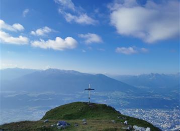
Up to the Bettelwurf Hut through the Halltal. The way back takes us to the Lafatscherjoch.


During the summer month it is possbile to take a shuttle bus to the Gasthof St. Magdalena.

Author’s recommendation

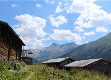
Herrenhäuser (buildings that formerly accommodated salt miners)
Profile picture of Hall Wattens
Author
Hall Wattens
Update: April 03, 2023
Difficulty
difficult
Stamina
Experience
Landscape
Highest point
2,221 m
Lowest point
775 m
Best time of year
Jan
Feb
Mar
Apr
May
Jun
Jul
Aug
Sep
Oct
Nov
Dec
Cardinal direction
NESW

Track types

Asphalt 25.89%Dirt road 13.16%Forested/wild trail 0.08%Path 60.85%
Asphalt
4.7 km
Dirt road
2.4 km
Forested/wild trail
0 km
Path
11.1 km
Show elevation profile

Rest stops

St. Magdalena
Bettelwurf-Hütte
Bettelwurfhütte

Safety information

Unfortunatelly the trail 222 is closed!

Tips and hints

During the summer month it is possbile to take a shuttle bus to the Gasthof St. Magdalena.


https://www.hall-wattens.at/en/halltal-taxi-shuttle-service.html

Start

Halltal Parkplatz (774 m)
Coordinates:
DD
47.308103, 11.518754
DMS
47°18'29.2"N 11°31'07.5"E
UTM
32T 690381 5242480
w3w 
///reckless.devise.territories

Destination

Halltal Parkplatz

Turn-by-turn directions

Unfortunatelly the direkt trail is closed. So you have to take the way over the Lafatscherjoch to get there and return. Start at the Halltal Valley entrance to the Issanger and further on up to the Lafatscherjoch. Up there we follow the "panoramic" path to Bettelwurfhütte. Taking the same way back!

Public transport

Public-transport-friendly

Bus 502/503 Eichat/Bettelwurfsiedlung

By road

Hall - Absam

Coordinates

DD
47.308103, 11.518754
DMS
47°18'29.2"N 11°31'07.5"E
UTM
32T 690381 5242480
w3w 
///reckless.devise.territories
Arrival by train, car, foot or bike

Similar routes nearby

  • Über die Zunterköpfe zur Kaisersäule
  • Through the Halltal to the peak of the Bettelwurf
  • Speckkarspitze
  • Through the Halltal (valley) to the Halleranger
  • Der Wilde Bande Steig
 These suggestions were generated by our system
Difficulty
difficult
Distance
18.2 km
Duration
9:00 h
Ascent
1,581 m
Descent
1,581 m
Highest point
2,221 m
Lowest point
775 m
Public-transport-friendly Out and back Round trip Scenic Refreshment stops available Insider tip Secured passages

Statistics

  • Content
  • Show images Hide images
Features
Maps and trails
  • 5 Waypoints
  • 5 Waypoints
Distance  km
Duration : h
Ascent  m
Descent  m
Highest point  m
Lowest point  m
Push the arrows to change the view

Please wait

Accommodation is searched

Please be patient for a little more time

All data will be loaded in an instant