Hiking

Medium

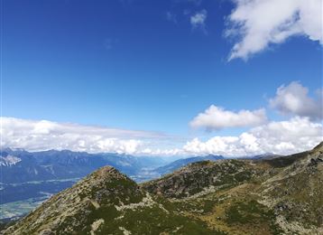
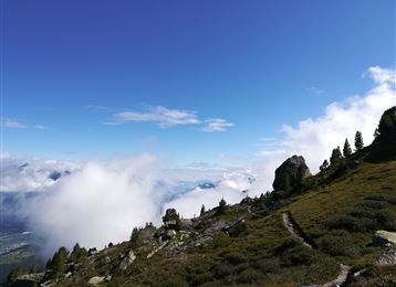
From Halltal over the 3 Zunterköpfe to the Kaisersäule

Mountain Hike

11,98 km

06:05 h

1236 hm

1382 hm

1964 m

Best Time of Year

Jan

Feb

Mar

Apr

May

Jun

Jul

Aug

Sep

Oct

Nov

Dec

Information

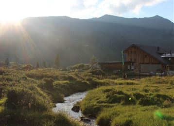
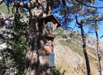
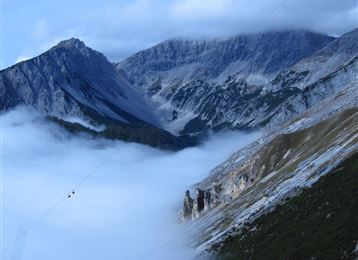
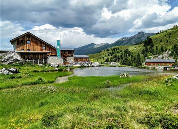
Up a steep ascent to the Hochmahdkopf. From here we follow the ridge line to the Haller and further to the Thaurer Zunterkopf. From the Thaurer Zunterkopf, the descent to the Kaisersäule begins. After a stop at the Thaurer Alm, it goes down past the Romedikirchl to Thaur. From here,

Features & Properties

Stamina

Experience

Landscape

Map & Elevation Profile

Arrival

Hall - Absam - Halltal parking lot

Similar Tour Suggestions
Speckkarspitze Gipfel

Hard

Hiking

Mountain Hike

21,49 km

09:00 h

2055 hm

2040 hm

2606 m

Außermelan Alm Niederleger

Hard

Hiking

Mountain Hike

13,74 km

06:30 h

1221 hm

2625 m

Die Seenplatte der blauen Seen

Medium

Hiking

Mountain Hike

16,43 km

08:00 h

1507 hm

1512 hm

2637 m

Goetheweg mit Blick auf Innsbruck

Medium

Hiking

Mountain Hike

15,87 km

05:55 h

436 hm

1919 hm

2277 m

Blick hinaus aus dem Voldertal bis zum Karwendel

Medium

Hiking

Mountain Hike

29,31 km

08:00 h

1710 hm

2478 m

Aussicht Sagen Klettersteig

Medium

Via Ferrata

Via Ferrata

2,03 km

02:00 h

448 hm

2604 m

Bettelwurfhütte

Hard

Hiking

Mountain Hike

18,31 km

09:00 h

1495 hm

2184 m

Lizumer Hütte, 2019m, Foto: Gerald Aichner

Hard

Hiking

Mountain Hike

10,71 km

06:00 h

928 hm

923 hm

2826 m