4 peak tour at the Glungezer panoramic trail

Mountain Hike recommended route

4 peak tour at the Glungezer panoramic trail

Mountain Hike · Region Innsbruck
Logo Tourismusverband Region Hall-Wattens
Responsible for this content
Tourismusverband Region Hall-Wattens Verified partner  Explorers Choice 
  • Am Zirbenweg
    Am Zirbenweg
    Photo: Anne W., Tourismusverband Region Hall-Wattens
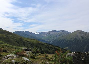
At the distance from the Zirbenweg we take this beautiful and quite trail with views down to the Viggartal
difficult
Distance 13.5 km
5:00 h
1,282 m
1,188 m
2,669 m
1,960 m
Following the Zirbenweg till Boscheben, we then take this quite and lonley trail at "the oder side" of the mountain.

Author’s recommendation

Colourful in autumn!
Profile picture of Hall Wattens
Author
Hall Wattens
Update: January 24, 2023
Difficulty
difficult
Technique
Stamina
Experience
Landscape
Highest point
2,669 m
Lowest point
1,960 m
Best time of year
Jan
Feb
Mar
Apr
May
Jun
Jul
Aug
Sep
Oct
Nov
Dec

Track types

Show elevation profile

Rest stops

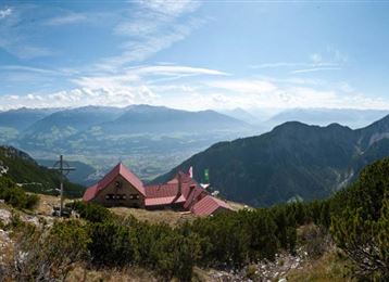
Glungezer-Hut
Tulfeinalm 2035 M

Safety information

Bitte unbedingt vorher die letzte Talfahrt der Bahn einplanen!


Tips and hints


Start

Patscherkofel (1,960 m)
Coordinates:
DD
47.210901, 11.452711
DMS
47°12'39.2"N 11°27'09.8"E
UTM
32T 685729 5231519
w3w 
///sweat.undergo.merry

Destination

Glungezer

Turn-by-turn directions

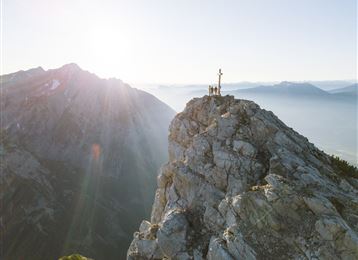
From the Patscherkofel mountain station to the top of Mount Patscherkofel (2,246 m/7,368 ft.) – along the Zirbenweg trail to Boscheben, on to the turning to the right marked ‘Glungezer-Höhenweg’. It’s an uphill track and short climb (10 min) to Viggarspitze peak (2,306 m/7,565 ft.). Continue on uphill route No. 333 to Glungezerhütte, climb up Sonnenspitze peak (2,639 m/8,658 ft.) and then to the top of Mount Glungezer (2,678 m/8,786 ft.); Hike down to Glungezerbahn cableway.

Public transport

Die Patscherkofelbahn kann von Innsbruck direkt mit der "Linie J" erreicht werden.

Nähere Information unter:

http://www.vvt.at

Parking

Direkt bei den Patscherkofelbahnen gibt es kostenlose Parkmöglichkeiten.

Coordinates

DD
47.210901, 11.452711
DMS
47°12'39.2"N 11°27'09.8"E
UTM
32T 685729 5231519
w3w 
///sweat.undergo.merry
Arrival by train, car, foot or bike

Similar routes nearby

  • Glungezer - Mühltal
  • Glungezer & Geier - High Altitude Trail
  • The blue lakes
  • A hike around the Glungezer Summit
  • From the Tulfeinalm to the peak of the Glungezer
 These suggestions were generated by our system
Difficulty
difficult
Distance
13.5 km
Duration
5:00 h
Ascent
1,282 m
Descent
1,188 m
Highest point
2,669 m
Lowest point
1,960 m
Linear route

Statistics

  • Content
  • Show images Hide images
Features
Maps and trails
  • 7 Waypoints
  • 7 Waypoints
Distance  km
Duration : h
Ascent  m
Descent  m
Highest point  m
Lowest point  m
Push the arrows to change the view

Please wait

Accommodation is searched

Please be patient for a little more time

All data will be loaded in an instant