Randonnée

Moyen

col de Navis

Randonnée en montagne

29,31 km

08:00 h

1710 hm

2478 m

Meilleure période

Jan

Fév

Mar

Avr

Mai

Juin

Juil

Août

Sep

Oct

Nov

Déc

Informations

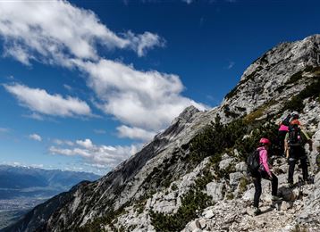
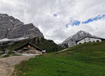
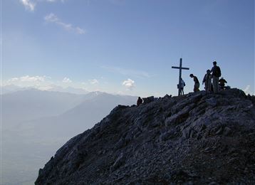
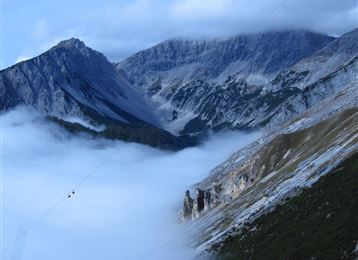
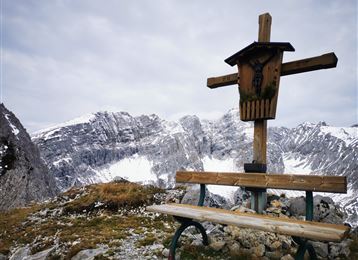
Belle randonnée jusqu'au bout de la vallée de Volder via la ferme alpine Vorbergalm, Steinkasern, Melkböden. Jusqu'ici, chemin forestier, puis sentier balisé vers le col de Navis (2479m).

Caractéristiques & Propriétés

Endurance

Expérience

Paysage

Carte & Profil altimétrique

Arrivée

Tulfes - télécabine Glungezer

Propositions de tours similaires

Vorm Gipfel

Difficile

Via ferrata

Via Ferrata

2,13 km

04:00 h

713 hm

2239 m

Hallerangeralm

Moyen

Randonnée

Lizumer Hütte, 2019m, Photo : Gerald Aichner

Difficile

Randonnée

Randonnée en montagne

10,71 km

06:00 h

928 hm

923 hm

2826 m

Kreuzjöchl

Difficile

Randonnée

Randonnée en montagne

15,01 km

07:25 h

1451 hm

1442 hm

2136 m

Wildangerspitze

Moyen

Randonnée

Randonnée en montagne

14,93 km

07:00 h

1508 hm

1359 hm

2131 m

Sommet Hundskopf

Difficile

Randonnée

Randonnée en montagne

4,91 km

06:00 h

1353 hm

50 hm

2239 m

Olpererblick

Difficile

Randonnée

Randonnée en montagne

18,02 km

08:00 h

1368 hm

2719 m

L'arête entre Haller et Thaurer Zunterkopf

Moyen

Randonnée

Randonnée en montagne

11,98 km

06:05 h

1236 hm

1382 hm

1964 m