Randonnée

Difficile

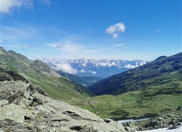
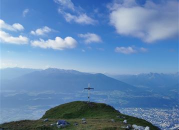
Le sentier Wilde Bande

Randonnée en montagne

18,71 km

07:00 h

1953 hm

471 hm

2277 m

Meilleure période

Jan

Fév

Mar

Avr

Mai

Juin

Juil

Août

Sep

Oct

Nov

Déc

Informations

Le sentier complet de la cabane Bettelwurf via le « Stempel », à travers la Pfeis jusqu'au Hafelekar s'appelle « Innsbrucker Höhenweg ».

Depuis le Hafelekar, descente en vallée avec le téléphérique Nordkette puis avec le Hungerburgbahn jusqu'à Innsbruck, puis en bus jusqu'à Hall.

Caractéristiques & Propriétés

Endurance

Expérience

Paysage

Carte & Profil altimétrique

Propositions de tours similaires
Hallerangeralm

Moyen

Randonnée

Durch das Halltal zum imposanten Bettelwurf

Difficile

Randonnée

Randonnée en montagne

22,53 km

11:10 h

2192 hm

2206 hm

2716 m

Arrived at Lippenkopf

Difficile

Randonnée

Randonnée en montagne

5,54 km

03:00 h

627 hm

629 hm

1341 m

Before the summit

Difficile

Via ferrata

Via Ferrata

2,13 km

04:00 h

713 hm

2239 m

salita al Glungezer passando per il Schartenkogel

Moyen

Randonnée

Randonnée en montagne

11,41 km

04:00 h

722 hm

704 hm

2668 m

Speckkarspitze Gipfel

Difficile

Randonnée

Randonnée en montagne

21,49 km

09:00 h

2055 hm

2040 hm

2606 m

Cima Hundskopf

Difficile

Randonnée

Randonnée en montagne

4,91 km

06:00 h

1353 hm

50 hm

2239 m

Vista sulla Halltal

Difficile

Via ferrata

Via Ferrata

2,54 km

03:00 h

1121 hm

100 hm

2105 m