Markiss- Largozalm

Hiking route recommended route

Markiss- Largozalm

Hiking route · Hall-Wattens
Logo Tourismusverband Region Hall-Wattens
Responsible for this content
Tourismusverband Region Hall-Wattens Verified partner  Explorers Choice 
  • Largozalm
    Largozalm
    Photo: Hall Wattens, Tourismusverband Region Hall-Wattens
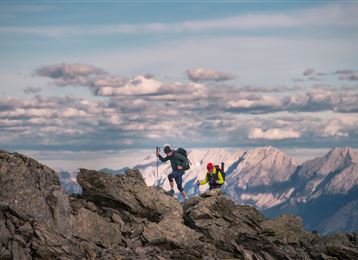
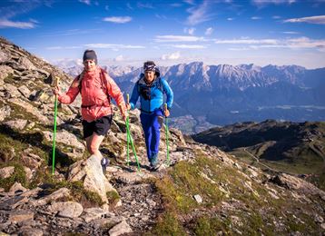
Lonely and authentic Montain trails 
moderate
Distance 15.8 km
4:00 h
1,016 m
1,016 m
1,955 m
1,107 m
From hut to hut through the Voldertal.

Author’s recommendation

Alpine pastures and alpine huts
Profile picture of Hall Wattens
Author
Hall Wattens
Update: April 03, 2023
Difficulty
moderate
Stamina
Experience
Landscape
Highest point
1,955 m
Lowest point
1,107 m
Best time of year
Jan
Feb
Mar
Apr
May
Jun
Jul
Aug
Sep
Oct
Nov
Dec

Track types

Asphalt 41.03%Forested/wild trail 22.61%Path 36.34%
Asphalt
6.5 km
Forested/wild trail
3.6 km
Path
5.7 km
Show elevation profile

Rest stops

Voldertalhütte

Tips and hints

Hall Wattens

Start

Volderwildbad (1,111 m)
Coordinates:
DD
47.250725, 11.561091
DMS
47°15'02.6"N 11°33'39.9"E
UTM
32T 693790 5236208
w3w 
///curdle.affirms.hastens

Destination

Volderwildbad

Turn-by-turn directions

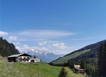
Mountain trail from Volderwildbad in Voldertal to Voldertalhütte which is a ‘Friends of Nature Centre’. Pass Nösslachalm and take the forest trail via Vorbergalm to Markissalm (1,896 m/6,220 ft.). Enjoy the splendid view and have a rest.

After a short downhill stretch take the right turning and uphill track to Largozalm (1,930 m/6,332 ft.). Your downhill hike will take you past Krepperhütte; just below the alpine hut, take the left trail back down to Volderwildbad

By road

Directly to the starting point with the car

Parking

Directly at the starting point

Coordinates

DD
47.250725, 11.561091
DMS
47°15'02.6"N 11°33'39.9"E
UTM
32T 693790 5236208
w3w 
///curdle.affirms.hastens
Arrival by train, car, foot or bike

Similar routes nearby

  • Volderwildbad - Largozalm
  • Stiftsalm
  • Schwarzbrunn im Voldertal
  • Entlang des Voldertalbaches zur Steinkasernalm
  • Naviser Sonnenspitze
 These suggestions were generated by our system
Difficulty
moderate
Distance
15.8 km
Duration
4:00 h
Ascent
1,016 m
Descent
1,016 m
Highest point
1,955 m
Lowest point
1,107 m
Round trip

Statistics

  • Content
  • Show images Hide images
Features
Maps and trails
  • 1 Waypoints
  • 1 Waypoints
Distance  km
Duration : h
Ascent  m
Descent  m
Highest point  m
Lowest point  m
Push the arrows to change the view

Please wait

Accommodation is searched

Please be patient for a little more time

All data will be loaded in an instant