Hiking

Medium

Stage 4 from Thaur to Gnadenwald

Long-Distance Hiking

16,22 km

07:30 h

1309 hm

1056 hm

1804 m

Best Time of Year

Jan

Feb

Mar

Apr

May

Jun

Jul

Aug

Sep

Oct

Nov

Dec

Information

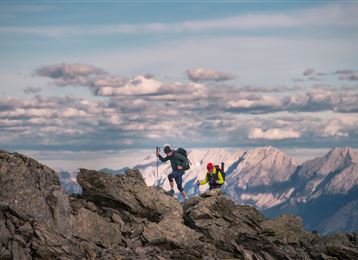
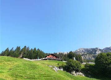
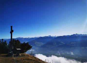
From Thaur we walk up to the Romedikirchl church, visible from afar, and to the ruins of Thaur Castle. From here we follow the old Thaurer Alm Steig to the Thaurer Alm. The first ascent is completed here and we can let our gaze wander from the alpine terrace.

We continue

Features & Properties

Stamina

Experience

Landscape

Map & Elevation Profile

Similar Tour Suggestions

Molyptänbergbau

Medium

Hiking

Long-Distance Hiking

11,24 km

06:30 h

851 hm

932 hm

2959 m

Kaisersäule

Medium

Hiking

Hiking route

13,45 km

05:00 h

1179 hm

1058 hm

1804 m

Die Runstboden Runde im Halltal

Easy

Hiking

Hiking route

4,59 km

01:30 h

186 hm

188 hm

916 m

In das Poltental

Easy

Hiking

Hiking route

8,10 km

02:00 h

213 hm

209 hm

1009 m

Stiftsalm

Medium

Hiking

Hiking route

9,27 km

03:05 h

477 hm

476 hm

1554 m

Gartlach

Easy

Hiking

Hiking route

8,64 km

02:30 h

321 hm

331 hm

853 m

Etappe 5 - Karwendel Höhenweg

Hard

Hiking

Long-Distance Hiking

9,09 km

06:00 h

800 hm

1100 hm

2694 m

St. Martin

Easy

Hiking

Pilgrim Walk

16,02 km

04:15 h

359 hm

360 hm

920 m