Running

Easy

The historic brine hiking trail in Halltal

Nature Trail

5,29 km

02:20 h

717 hm

1494 m

Best Time of Year

Jan

Feb

Mar

Apr

May

Jun

Jul

Aug

Sep

Oct

Nov

Dec

Information

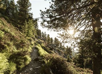
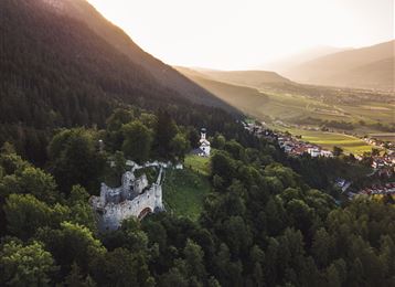
The natural scenery along the historic brine hiking trail is unique: steep vertical limestone walls, fascinating vegetation, emerald-green streams... and at the end, a view into one of the eight main tunnels awaits.

Features & Properties

Stamina

Experience

Landscape

Map & Elevation Profile

Arrival

Hall - Absam - Halltal parking lot

Similar Tour Suggestions
Der Wegverlauf zwischen Haller und Thaurer Zunterkopf

Hard

Hiking

Hiking route

11,25 km

05:30 h

1272 hm

1271 hm

1963 m

Tulfes

Easy

Hiking

Hiking route

12,81 km

04:30 h

330 hm

325 hm

1023 m

Kasern

Medium

Hiking

Long-Distance Hiking

9,47 km

04:30 h

1067 hm

218 hm

2489 m

Hochmoor

Hard

Hiking

Long-Distance Hiking

16,26 km

09:30 h

1440 hm

1460 hm

2636 m

The Hochmahdkopf

Medium

Hiking

Hiking route

8,13 km

04:00 h

963 hm

958 hm

1736 m

Bergsagen Weitwanderweg

Medium

Hiking

Long-Distance Hiking

13,76 km

04:30 h

237 hm

565 hm

1009 m

Der aussichtsreiche Zirbenweg - Wandergenuss auf 2000 Meter Seehöhe

Easy

Hiking