Hiking

Hard

Stage 2 Wattens to Tulfes

Long-Distance Hiking

19,22 km

06:30 h

1147 hm

788 hm

1561 m

Best Time of Year

Jan

Feb

Mar

Apr

May

Jun

Jul

Aug

Sep

Oct

Nov

Dec

Information

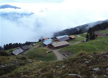
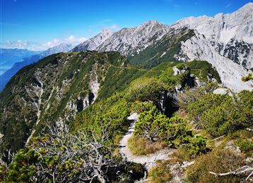
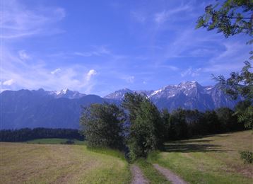
The 2nd day of our long-distance hike starts well rested in Wattens.

Follow the Vögelsbergweg to the first hairpin bend and then continue straight ahead. A section of the historic circular hiking trail takes us above Volders and Friedberg Castle onto the hiking trail into the Voldertal valley. At Großvolderbergstraße, turn

Read More...

Features & Properties

Stamina

Experience

Landscape

Map & Elevation Profile

Arrival

A12 direction Wattens, center

Similar Tour Suggestions

The Way of St James in the Tyrol

Easy

Hiking

Pilgrim Walk

16,02 km

04:15 h

359 hm

360 hm

920 m

Auf das Walderjoch

Medium

Hiking

Hiking route

12,80 km

04:30 h

741 hm

1630 m

Wattens - Kolsass

Easy

Hiking

Hiking route

8,64 km

02:30 h

321 hm

331 hm

853 m

Zum idylischen Mölssee

Medium

Hiking

Hiking route

16,55 km

06:05 h

1019 hm

2379 m

Closed
Stage 4 from Thaur to Gnadenwald

Medium

Hiking

Long-Distance Hiking

16,22 km

07:30 h

1309 hm

1056 hm

1804 m

Hike to 4 huts - Almenweg 1600

Medium

Hiking

Hiking route

10,41 km

03:10 h

251 hm

656 hm

1959 m

Path of Contemplation

Easy

Running

Nature Trail

3,78 km

01:05 h

130 hm

16 hm

908 m

Vier-Almen-Wanderung im Naturpark Karwendel

Medium

Hiking

Hiking route

17,00 km

06:00 h

1074 hm

1600 m