Hiking

Easy

The Way of St. James in the Hall - Wattens region

Pilgrim Walk

16,02 km

04:15 h

359 hm

360 hm

920 m

Best Time of Year

Jan

Feb

Mar

Apr

May

Jun

Jul

Aug

Sep

Oct

Nov

Dec

Information

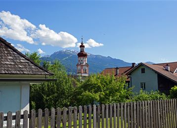
In our region, the Way of St. James leads from Gnadenwald via Absam to Hall. Then on via Thaur to Rum.

Features & Properties

Stamina

Experience

Landscape

Map & Elevation Profile

Arrival

Inn Valley Motorway A12 - exit 171 Vomp - follow the Vomper Landesstraße/L222 to Terfens

Similar Tour Suggestions
Romediuskirche

Medium

Hiking

Pilgrim Walk

23,86 km

08:15 h

1049 hm

878 hm

977 m

Largozalm

Medium

Hiking

Hiking route

8,24 km

03:30 h

822 hm

835 hm

1933 m

Gartlach

Easy

Hiking

Hiking route

8,64 km

02:30 h

321 hm

331 hm

853 m

Baumkirchen

Easy

Hiking

Hiking route

8,42 km

02:20 h

215 hm

214 hm

820 m

Der Historischer Rundwanderweg

Easy

Running

Nature Trail

7,74 km

03:30 h

183 hm

666 m

Almwanderung Außermelang-Alm

Easy

Hiking

Hiking route

7,81 km

02:45 h

473 hm

1871 m

Steinkasernalm

Hard

Hiking

Hiking route

9,93 km

02:30 h

934 hm

62 hm

1999 m

Glungezerhütte

Medium

Hiking

Long-Distance Hiking

15,87 km

05:00 h

1782 hm

99 hm

2606 m