Hiking

Hard

Along the Voldertal creek to Steinkasern Alm

Hiking route

9,94 km

02:30 h

934 hm

62 hm

1999 m

Best Time of Year

Jan

Feb

Mar

Apr

May

Jun

Jul

Aug

Sep

Oct

Nov

Dec

Information

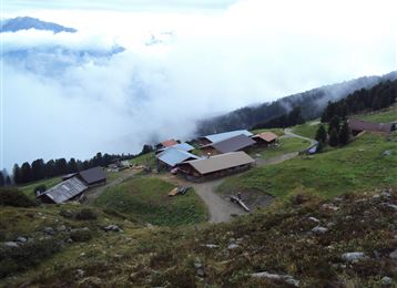
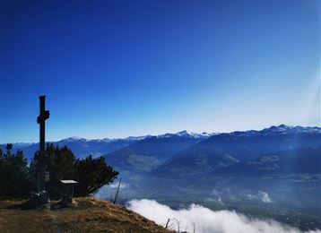
Hike from Volderwildbad along the Voldertal creek to the Naturfreundehaus Voldertalhütte and further into the valley to the alpine settlement Steinkasern.

Features & Properties

Stamina

Experience

Landscape

Map & Elevation Profile

Arrival

Drive on the A12 "Wattens" to the roundabout - turn right and continue straight - turn towards Volders - after about 30m turn left and follow the signs over Großvolderberg - Volderwildbad parking lot.

Similar Tour Suggestions
Molyptänbergbau

Medium

Hiking

Long-Distance Hiking

11,24 km

06:30 h

851 hm

932 hm

2959 m

Thaurer Alm

Medium

Hiking

Hiking route

7,31 km

04:15 h

636 hm

635 hm

1462 m

Gartlach

Easy

Hiking

Hiking route

8,64 km

02:30 h

321 hm

331 hm

853 m

Mäharbeiten

Medium

Hiking

Hiking route

14,68 km

06:30 h

882 hm

1250 hm

2516 m

Mölssee

Medium

Hiking

Hiking route

16,55 km

06:05 h

1019 hm

2379 m

Castello di Friedberg

Medium

Hiking

Hiking route

11,52 km

03:40 h

553 hm

552 hm

1126 m

Walderalm

Hard

Hiking

Hiking route

15,42 km

04:00 h

662 hm

672 hm

1502 m

Kasern

Medium

Hiking

Long-Distance Hiking

9,47 km

04:30 h

1067 hm

218 hm

2489 m