Hiking

Hard

Kreuzjöchl – an inconspicuous summit in the Karwendel

Mountain Hike

15,01 km

07:25 h

1451 hm

1442 hm

2136 m

Best Time of Year

Jan

Feb

Mar

Apr

May

Jun

Jul

Aug

Sep

Oct

Nov

Dec

Information

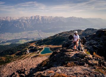
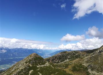
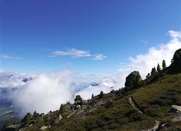
With several refreshment options available, which provide a reward after the tour, this route is a beautiful "border route" between the Inn Valley and Karwendel. You steadily climb up to 2,121 m and are rewarded here with a breathtaking view between two worlds!

Features & Properties

Stamina

Experience

Landscape

Map & Elevation Profile

Arrival

In Thaur near Hotel Stangl continue uphill towards the Thaurer Alm parking lot.

Similar Tour Suggestions
Rifugio Lizumer, 2019 m, Foto: Gerald Aichner

Hard

Hiking

Mountain Hike

10,71 km

06:00 h

928 hm

923 hm

2826 m

Montée au Stempeljoch

Hard

Hiking

Mountain Hike

18,71 km

07:00 h

1953 hm

471 hm

2277 m

Rifugio Lizumer

Hard

Hiking

Mountain Hike

19,59 km

06:30 h

1194 hm

1802 hm

2516 m

Rifugio Lizumer - Alpi Tux

Medium

Hiking

Mountain Hike

19,72 km

06:30 h

1123 hm

1085 hm

2435 m

Bettelwurfhütte

Hard

Hiking

Mountain Hike

18,31 km

09:00 h

1495 hm

2184 m

The ridge between Haller and Thaurer Zunterkopf

Medium

Hiking

Mountain Hike

11,98 km

06:05 h

1236 hm

1382 hm

1964 m

Vorm Gipfel

Hard

Via Ferrata

Via Ferrata

2,13 km

04:00 h

713 hm

2239 m

Wildangerspitze

Medium

Hiking

Mountain Hike

14,93 km

07:00 h

1508 hm

1359 hm

2131 m