Hiking

Medium

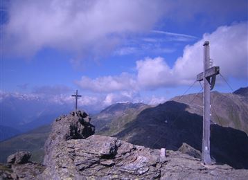
Thaurer Zunterkopf - the little neighbor of Bettelwurf

Hiking route

13,48 km

05:00 h

1304 hm

1303 hm

1915 m

Best Time of Year

Jan

Feb

Mar

Apr

May

Jun

Jul

Aug

Sep

Oct

Nov

Dec

Information

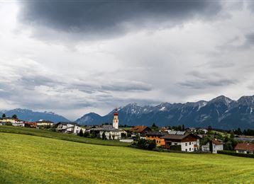
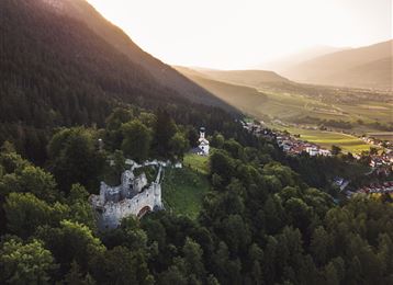
Starting from the village center of Thaur, it goes via the Romedius chapel further to the Thaurer Alm. From there, either via the Kaisersäule or through the Törl Schlung up to the Thaurer Zunterkopf.

Features & Properties

Stamina

Experience

Landscape

Map & Elevation Profile

Arrival

Thaur

Similar Tour Suggestions

Hochmoor

Hard

Hiking

Long-Distance Hiking

16,26 km

09:30 h

1440 hm

1460 hm

2636 m

Schloss Friedberg

Medium

Hiking

Hiking route

11,52 km

03:40 h

553 hm

552 hm

1126 m

Castle ruins and Romedius chapel

Easy

Hiking

Hiking route

11,29 km

03:00 h

360 hm

232 hm

953 m

Der aussichtsreiche Zirbenweg - Wandergenuss auf 2000 Meter Seehöhe

Easy

Hiking

Zirmweg

Medium

Hiking

das Gipfelkreuz der "Roten Wand"

Medium

Hiking

Hiking route

12,31 km

05:30 h

980 hm

978 hm

2215 m

Logo Adlerweg

Medium

Hiking

Long-Distance Hiking

7,83 km

02:25 h

201 hm

105 hm

2061 m

Blick über Innsbruck

Medium

Hiking

Hiking route

17,00 km

06:00 h

1074 hm

1600 m