Hiking

Easy

Romedius Chapel

Hiking route

2,61 km

01:00 h

166 hm

793 m

Best Time of Year

Jan

Feb

Mar

Apr

May

Jun

Jul

Aug

Sep

Oct

Nov

Dec

Information

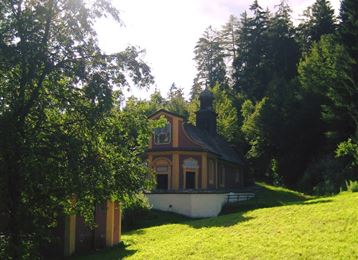
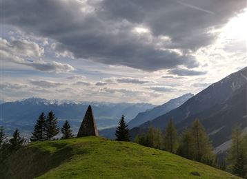
The steep way of the cross leads up to the little Romedius church.

Features & Properties

Stamina

Experience

Landscape

Map & Elevation Profile

Arrival

Inntal motorway A12, exit Hall-West, then simply continue via the connecting road Hall in Tirol in the direction of Thaur.

Similar Tour Suggestions

Stage 1 Kranzach/Gnadenwald to Wattens

Easy

Hiking

Long-Distance Hiking

11,83 km

03:05 h

189 hm

517 hm

899 m

Hinauf auf den Largoz

Medium

Hiking

Hiking route

6,92 km

05:00 h

853 hm

852 hm

2204 m

Stage 5 Gnadenwald to Mairbach/Gnadenwald

Medium

Hiking

Long-Distance Hiking

17,65 km

05:30 h

694 hm

684 hm

1527 m

Senselerweg: Zehenter Alm über Naviser Kreuzjoch bis Toldern

Medium

Hiking

Hiking route

14,68 km

06:30 h

882 hm

1250 hm

2516 m

Baumkirchner Tal

Easy

Hiking

Hiking route

8,42 km

02:20 h

215 hm

214 hm

820 m

The Eagles' Way (Adlerweg) – Alpine Roses, Stone Pines, Nutcrackers

Medium

Hiking

Long-Distance Hiking

7,83 km

02:25 h

201 hm

105 hm

2061 m

Via Alpina - Red trail - From the Inn Valley south

Hard

Hiking

Long-Distance Hiking

60,05 km

23:15 h

2969 hm

4345 hm

2794 m

Von Rinn über die Rinner Alm zur Kriegerkapelle

Medium

Hiking

Hiking route

11,12 km

04:00 h

759 hm

772 hm

1740 m