We use cookies for your personalized browsing experience, to personalize content and ads, to provide social media features, and to analyze traffic to our website. We also share information about your use of our website with our social media, advertising and analytics partners. Our partners may combine this information with other data that you have provided to them or that they have collected as part of your use of the Services. (incl. US providers)

Medium

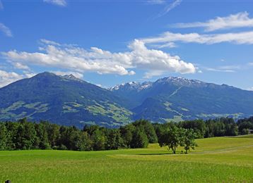
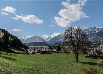
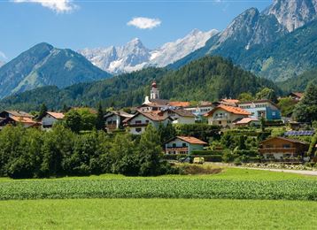
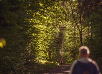
Baumkirchner forest circuit

Nordic Walking

8,99 km

01:45 h

208 hm

193 hm

809 m

Best Time of Year

Jan

Feb

Mar

Apr

May

Jun

Jul

Aug

Sep

Oct

Nov

Dec

Features & Properties

Stamina

Experience

Landscape

Map & Elevation Profile

Arrival

Aus Deutschland : Grenzübergang Kiefersfelden - Kufstein - ca. 70 km nach Hall über Autobahn A 12 - Ausfahrt Hall Mitte - Bundesstraße (B171) nach 7 km biegen Sie links ab auf die Dorfstraße (L335), dann biegen Sie links in die Schneeburgstrasse ein und folgen den Straßenverlauf bis Sie

Read More...

Similar Tour Suggestions

Connection route Tulfes - Judenstein

Easy

Nordic Walking

4,48 km

01:05 h

106 hm

86 hm

994 m

Runstboden Circuit

Medium

Nordic Walking

7,34 km

01:40 h

324 hm

329 hm

921 m

Lourdes Chapel Run

Medium

Nordic Walking

10,93 km

02:00 h

150 hm

149 hm

624 m

Romedius Church Circuit

Hard

Nordic Walking

5,12 km

01:15 h

231 hm

228 hm

892 m

Gnadenwald circuit

Easy

Nordic Walking

6,84 km

01:30 h

235 hm

226 hm

882 m

Connection route Bogner Aste - Thaur

Medium

Nordic Walking

7,38 km

01:30 h

211 hm

180 hm

857 m

Historic Circuit

Medium

Nordic Walking

9,47 km

01:50 h

169 hm

668 m

Guggerinsel Circuit

Easy

Nordic Walking

3,16 km

00:40 h

6 hm

561 m