Hiking

Medium

Haslach loop

Nordic Walking

4,06 km

01:05 h

119 hm

741 m

Best Time of Year

Jan

Feb

Mar

Apr

May

Jun

Jul

Aug

Sep

Oct

Nov

Dec

Information

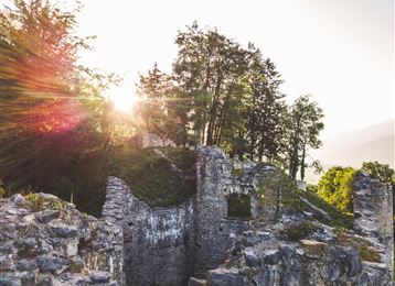
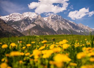
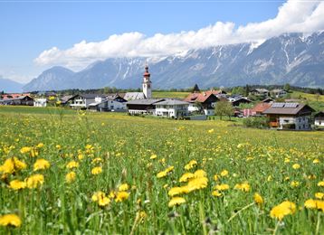
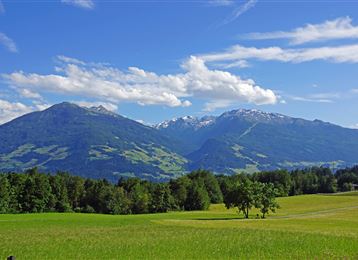
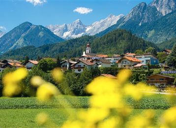
A picturesque forest loop dotted with not too demanding ascents, offering repeated views of the Milser fields, the Inn valley, and the Glungezer.

Features & Properties

Stamina

Experience

Landscape

Map & Elevation Profile

Arrival

From Germany : Border crossing Kiefersfelden - Kufstein - about 70 km to Hall via motorway A 12 - Exit Hall Mitte - Federal road (B171) after 7 km turn left onto Dorfstraße (L335), then turn left into Schneeburgstrasse and follow the road until you reach your destination.

From

Similar Tour Suggestions
Chamois in the Halltal

Hard

Hiking

Nordic Walking

7,34 km

01:40 h

324 hm

329 hm

921 m

Walderalm

Hard

Running

Trail Running

12,29 km

02:30 h

683 hm

1527 m

View of Fritzens

Medium

Hiking

Nordic Walking

11,07 km

02:00 h

99 hm

119 hm

624 m

Historischer Rundlauf

Hard

Hiking

Nordic Walking

9,46 km

01:50 h

169 hm

668 m

Weissenbachrunde

Easy

Hiking

Nordic Walking

3,48 km

00:40 h

100 hm

694 m

Tulfes

Hard

Hiking

Nordic Walking

6,09 km

01:10 h

229 hm

1009 m

Castle ruins and Romedius Chapel

Hard

Hiking

Nordic Walking

6,59 km

01:15 h

296 hm

892 m

Im Inntal

Easy

Hiking

Nordic Walking

4,29 km

00:50 h

3 hm

553 m