Tempo Course

Nordic Walking recommended route

Tempo Course

Nordic Walking · Hall-Wattens
Logo Tourismusverband Region Hall-Wattens
Responsible for this content
Tourismusverband Region Hall-Wattens Verified partner  Explorers Choice 
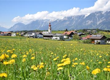
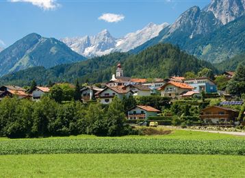
  • Photo: Hall Wattens, Tourismusverband Region Hall-Wattens
This even tempo course along the Inn is ideal for athletic runners to measure time and compete against the clock
easy
Distance 1 km
0:13 h
5 m
9 m
562 m
555 m
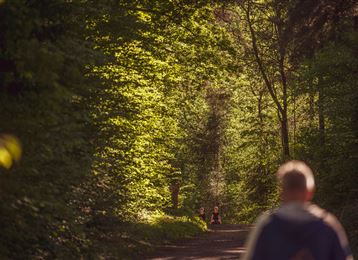
The evenly running tempo course is marked with signs every 100 m and is perfectly suitable for running practice.
Profile picture of Hall Wattens
Author
Hall Wattens
Update: August 12, 2020
Difficulty
easy
Stamina
Experience
Landscape
Highest point
562 m
Lowest point
555 m
Best time of year
Jan
Feb
Mar
Apr
May
Jun
Jul
Aug
Sep
Oct
Nov
Dec

Track types

Show elevation profile

Tips and hints

http://www.hall-wattens.at/


Start

Innsteg Hall i. T. (561 m)
Coordinates:
DD
47.277340, 11.508580
DMS
47°16'38.4"N 11°30'30.9"E
UTM
32T 689722 5239036
w3w 
///devotion.websites.boring

Destination

Innsteg Hall i. T.

Turn-by-turn directions

The overall length of 1000 m has been precisely measured. The tempo run is a very effective way to train the specific aerobic fitness level. This type of training consists of a run at a constant speed over several minutes. The running intensity during the tempo run lies slightly below or around the anaerobic threshold. The heart rate during training lies at around 75 to 85 % of the maximum heart rate. The intensity of the run should be perceived as brisk to fast, but also as limber and relaxed. Beginners are recommended a tempo run of up a maximum 20 minutes.

Public transport

Public-transport-friendly

Sie können Hall i. T. mit der Linie 504 von Innsbruck erreichen.

Mehr Informationen unter:

http//www.vvt.at

By road

Hall Mitte

Parking

Parkmöglichkeiten in Hall

Coordinates

DD
47.277340, 11.508580
DMS
47°16'38.4"N 11°30'30.9"E
UTM
32T 689722 5239036
w3w 
///devotion.websites.boring
Arrival by train, car, foot or bike

Similar routes nearby

  • Guggerinsel Circuit
  • Weissenbach circuit
  • Baumkirchner forest circuit
  • Haslach circuit
  • Speckbacher Circuit
 These suggestions were generated by our system
Difficulty
easy
Distance
1 km
Duration
0:13 h
Ascent
5 m
Descent
9 m
Highest point
562 m
Lowest point
555 m
Public-transport-friendly

Statistics

  • Content
  • Show images Hide images
Features
Maps and trails
Distance  km
Duration : h
Ascent  m
Descent  m
Highest point  m
Lowest point  m
Push the arrows to change the view

Please wait

Accommodation is searched

Please be patient for a little more time

All data will be loaded in an instant