Randonnée
Moyen
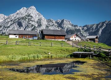
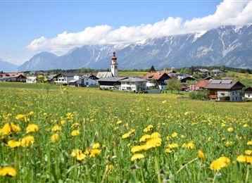
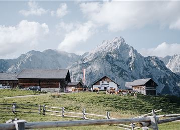
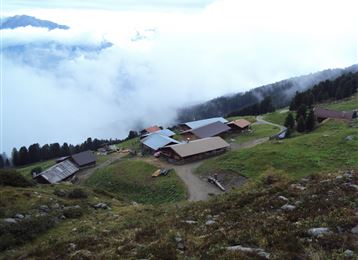
De Rinn, par la Rinner Alm jusqu'à la chapelle des combattants
Randonnée
11,12 km
04:00 h
759 hm
772 hm
1740 m
Meilleure période
Jan
Fév
Mar
Avr
Mai
Juin
Juil
Août
Sep
Oct
Nov
Déc
Informations
Par le chemin forestier ou par le "Rinner Alm Steig" jusqu'à la Rinner Alm puis continuation jusqu'à la chapelle des combattants.
Caractéristiques & Propriétés
Endurance
Expérience
Paysage
Carte & Profil altimétrique
Arrivée
Depuis l'Allemagne : passage frontalier Kiefersfelden - Kufstein - environ 70 km jusqu'à Hall via l'autoroute A 12 - sortie Hall Mitte - route fédérale (B171) jusqu'à Rinn
Depuis l'Italie : passage frontalier Brenner vers Innsbruck - jusqu'à Hall 10 km -> sortie Hall Mitte - route fédérale (B171) jusqu'à
Propositions de tours similaires
