Randonnée

Difficile

Randonnée des quatre sommets

Randonnée en montagne

14,58 km

05:00 h

1077 hm

1008 hm

2668 m

Meilleure période

Jan

Fév

Mar

Avr

Mai

Juin

Juil

Août

Sep

Oct

Nov

Déc

Informations

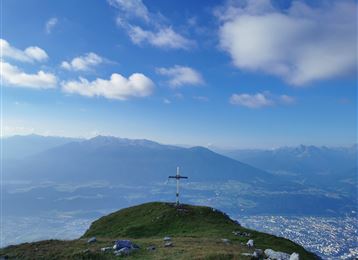
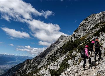
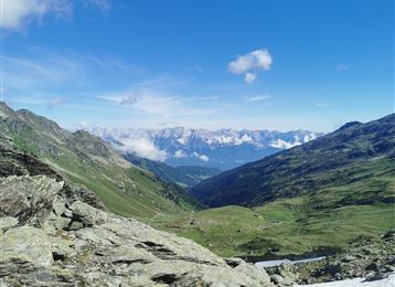
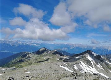
Départ à la station supérieure du Patscherkofel, montée au Patscherkofel (2246 m d’alt.) - Boscheben sur le chemin des pins cembros (Zirbenweg) puis tourner à droite et prendre le sentier pentu « Glungezer - Höhenweg » ; petit crochet (10 min.) sur le sommet du Viggarspitze (2306 m d’alt.). Montée

Caractéristiques & Propriétés

Endurance

Expérience

Paysage

Carte & Profil altimétrique

Propositions de tours similaires
Lizumer Hütte

Difficile

Randonnée

Randonnée en montagne

19,59 km

06:30 h

1194 hm

1802 hm

2516 m

Vorm Gipfel

Difficile

Via ferrata

Via Ferrata

2,13 km

04:00 h

713 hm

2239 m

La crête entre Haller et Thaurer Zunterkopf

Moyen

Randonnée

Randonnée en montagne

11,98 km

06:05 h

1236 hm

1382 hm

1964 m

Blick in das Halltal

Difficile

Via ferrata

Via Ferrata

2,54 km

03:00 h

1121 hm

100 hm

2105 m

Hundskopf Gipfel

Difficile

Randonnée

Randonnée en montagne

4,91 km

06:00 h

1353 hm

50 hm

2239 m

Arrived at Lippenkopf

Difficile

Randonnée

Randonnée en montagne

5,54 km

03:00 h

627 hm

629 hm

1341 m

Speckkarspitze Gipfel

Difficile

Randonnée

Randonnée en montagne

21,49 km

09:00 h

2055 hm

2040 hm

2606 m

Blick zum Patscherkofel

Difficile

Randonnée

Randonnée en montagne

15,63 km

08:00 h

767 hm

1365 hm

2794 m