Course à pied

Difficile

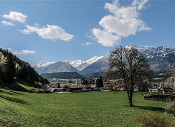
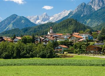
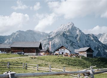
Parcours de course en montagne Alpage de Thaur

Trail

5,02 km

01:10 h

607 hm

3 hm

1461 m

Meilleure période

Jan

Fév

Mar

Avr

Mai

Juin

Juil

Août

Sep

Oct

Nov

Déc

Informations

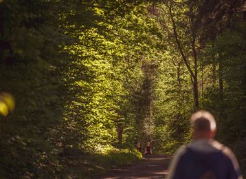
Ce parcours de course en montagne propose un chemin forestier ou un sentier de randonnée - selon la forme du jour.

Caractéristiques & Propriétés

Endurance

Expérience

Paysage

Carte & Profil altimétrique

Arrivée

Hall - Sortie Hall Ouest - Thaur


Propositions de tours similaires
Gnadenwalder Plateau

Facile

Randonnée

Marche nordique

6,84 km

01:30 h

235 hm

226 hm

882 m

Speckbacherrunde

Moyen

Randonnée

Marche nordique

4,95 km

00:50 h

106 hm

104 hm

994 m

Guggerinsel

Facile

Randonnée

Marche nordique

3,59 km

00:45 h

8 hm

562 m

Thaur castle ruins

Moyen

Randonnée

Marche nordique

7,38 km

01:30 h

211 hm

180 hm

857 m

Laufrunde Bogner Aste

Facile

Randonnée

Marche nordique

2,82 km

00:35 h

56 hm

55 hm

798 m

Baumkirchner Waldrunde

Difficile

Randonnée

Marche nordique

8,99 km

01:45 h

208 hm

193 hm

809 m

Tempolaufstrecke

Facile

Randonnée

Marche nordique

1,00 km

00:13 h

5 hm

9 hm

562 m

Chamois in the Halltal

Difficile

Randonnée

Marche nordique

7,34 km

01:40 h

324 hm

329 hm

921 m