Randonnée

Moyen

Boucle Glungezer

Randonnée en montagne

11,41 km

04:00 h

722 hm

704 hm

2668 m

Meilleure période

Jan

Fév

Mar

Avr

Mai

Juin

Juil

Août

Sep

Oct

Nov

Déc

Informations

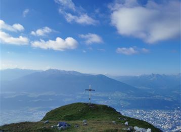
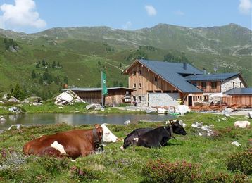
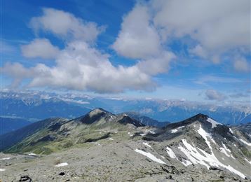
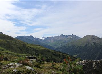
Depuis la station supérieure de la Glungezerbahn - sur le Zirbenweg jusqu'à la ferme-auberge Boscheben - retour bref et à droite sur le chemin d'altitude Inntaler, avec détour vers la Sonnenspitze (2639 m) et le Glungezer (2678 m), puis retour à la station supérieure de la Glungezerbahn.

Caractéristiques & Propriétés

Endurance

Expérience

Paysage

Carte & Profil altimétrique

Arrivée

Sortie Hall Mitte - Tulfes

Propositions de tours similaires
Vista sulla valle dell'Inn inferiore con la Neunerspitze in primo piano

Difficile

Randonnée

Randonnée en montagne

14,58 km

05:00 h

1077 hm

1008 hm

2668 m

Bettelwurfhütte

Difficile

Randonnée

Randonnée en montagne

18,31 km

09:00 h

1495 hm

2184 m

Wildangerspitze

Moyen

Randonnée

Randonnée en montagne

14,93 km

07:00 h

1508 hm

1359 hm

2131 m

Vista Sagen Klettersteig

Moyen

Via ferrata

Via Ferrata

2,03 km

02:00 h

448 hm

2604 m

Cima Hundskopf

Difficile

Randonnée

Randonnée en montagne

4,91 km

06:00 h

1353 hm

50 hm

2239 m

Vista sulla Halltal

Difficile

Via ferrata

Via Ferrata

2,54 km

03:00 h

1121 hm

100 hm

2105 m

Goetheweg con vista su Innsbruck

Moyen

Randonnée

Randonnée en montagne

15,87 km

05:55 h

436 hm

1919 hm

2277 m

Lizumer Hütte

Difficile

Randonnée

Randonnée en montagne

19,59 km

06:30 h

1194 hm

1802 hm

2516 m