Randonnée

Facile

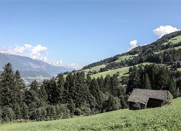
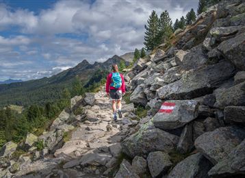
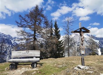
Randonnée variée le long du chemin Adolf-Pichler

Randonnée

11,29 km

03:00 h

360 hm

232 hm

953 m

Meilleure période

Jan

Fév

Mar

Avr

Mai

Juin

Juil

Août

Sep

Oct

Nov

Déc

Informations

Ce chemin longe au-dessus des villages MARTHA depuis Absam jusqu'à Hungerburg. 

Caractéristiques & Propriétés

Endurance

Expérience

Paysage

Carte & Profil altimétrique

Arrivée

En voiture ou en transport en commun jusqu'à Absam, au terrain de sport.

Propositions de tours similaires
Voldertalhütte

Moyen

Randonnée

Etappe 4 - Karwendel Höhenweg

Difficile

Randonnée

Grande randonnée

8,99 km

04:30 h

590 hm

390 hm

2218 m

Thaurer Alm

Moyen

Randonnée

Randonnée

7,31 km

04:15 h

636 hm

635 hm

1462 m

Molyptänbergbau

Moyen

Randonnée

Karwendelblick

Moyen

Randonnée

Randonnée

9,44 km

04:30 h

619 hm

620 hm

1502 m

In das Poltental

Facile

Randonnée

Randonnée

8,10 km

02:00 h

213 hm

209 hm

1009 m

Der Doppelgipfel der Naviser Sonnenspitze

Difficile

Randonnée

Randonnée

22,93 km

08:00 h

1516 hm

1514 hm

2617 m

Durch das Halltal auf das Lafatscherjoch

Difficile

Randonnée