Zum Alpengasthaus St. Magdalena im Halltal

Hiking route recommended route

Zum Alpengasthaus St. Magdalena im Halltal

Hiking route · Hall-Wattens
Logo Tourismusverband Region Hall-Wattens
Responsible for this content
Tourismusverband Region Hall-Wattens Verified partner  Explorers Choice 
  • Photo: Anne W., Tourismusverband Region Hall-Wattens
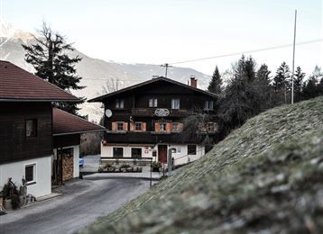
Tour durch das Halltal über den Fluchtsteig bis zur Einkehrmöglichkeit St. Magdalena.
easy
Distance 7.7 km
4:00 h
608 m
597 m
1,301 m
772 m
Diese Tour führt in das segenumwobende Halltal. Am Ende erwartet uns mit dem Alpengasthof St. Magdalena eine Möglichkeit zur Einkehr!
Profile picture of Anne W.
Author
Anne W. 
Update: June 17, 2020
Difficulty
easy
Stamina
Experience
Landscape
Highest point
St. Magdalena, 1,301 m
Lowest point
Halltal Parkplatz, 772 m
Best time of year
Jan
Feb
Mar
Apr
May
Jun
Jul
Aug
Sep
Oct
Nov
Dec

Track types

Asphalt 41.69%Path 33.57%Unknown 24.73%
Asphalt
3.2 km
Path
2.6 km
Unknown
1.9 km
Show elevation profile

Rest stops

St. Magdalena

Start

Halltal Eingang (771 m)
Coordinates:
DD
47.307800, 11.518614
DMS
47°18'28.1"N 11°31'07.0"E
UTM
32T 690371 5242446
w3w 
///patted.elitist.repute

Destination

St. Magdalena

Turn-by-turn directions

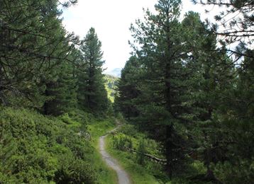
Am Eingang des Halltals beginnt diese Wanderung. Man kann sie entlang des Solewanderweges auf dem Forstweg hinein oder hinausgehen oder nach etwa 40min linkerhand auf den Fluchtsteig einbiegen und diesem nun bis St. Magdalena folgen.

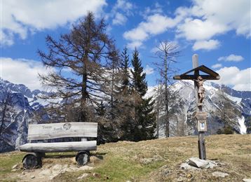
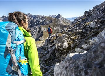
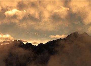
Atemberaubend ist die Kulisse, die sich uns bietet mit den steil heraufragenden Bettelwurfwänden zu unserer Linken und in der Ferne die Wände des Speckkars.

Der Retourweg verläuft entsprechend.

Public transport

Public-transport-friendly

Mit dem "Bus 502" bis Absam - "Bettelwurfsiedlung"

By road

Hall Mitte - Absam - Halltal Parkplatz

Parking

Halltal Wanderparkplatz

Coordinates

DD
47.307800, 11.518614
DMS
47°18'28.1"N 11°31'07.0"E
UTM
32T 690371 5242446
w3w 
///patted.elitist.repute
Arrival by train, car, foot or bike

Similar routes nearby

  • Through the Halltal to the natural jewel Issanger
  • Lafatscherjoch
  • On the panoramic Hochmahdkopf
  • Die Runstboden Runde im Halltal
  • Varied hike along the Adolf Pichler Trail
 These suggestions were generated by our system
Difficulty
easy
Distance
7.7 km
Duration
4:00 h
Ascent
608 m
Descent
597 m
Highest point
1,301 m
Lowest point
772 m
Public-transport-friendly Refreshment stops available Family-friendly Cultural/historical interest

Statistics

  • Content
  • Show images Hide images
Features
Maps and trails
  • 1 Waypoints
  • 1 Waypoints
Distance  km
Duration : h
Ascent  m
Descent  m
Highest point  m
Lowest point  m
Push the arrows to change the view

Please wait

Accommodation is searched

Please be patient for a little more time

All data will be loaded in an instant