Vacation. In Tyrol
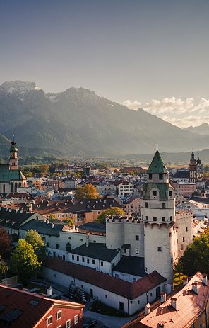
Discover the Tyrolean vacation region of Hall-Wattens in the heart of the Alps: ten idyllic villages await you in Absam, Baumkirchen, Fritzens, Gnadenwald, Mils, Thaur, Tulfes, Volders, Wattenberg and Wattens, as well as Hall in Tirol, one of the most beautiful towns in Austria. There are plenty of exceptional excursion destinations, from the historic old town in Hall, the Swarovski Crystal Worlds and the Hall Mint Museum to the pilgrimage church in Absam.
Tirol vacation. All year round
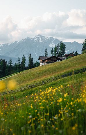
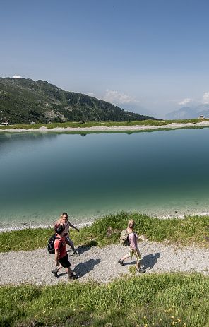
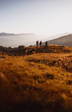
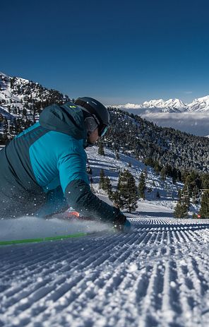
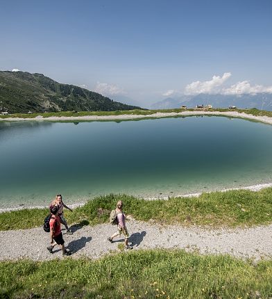
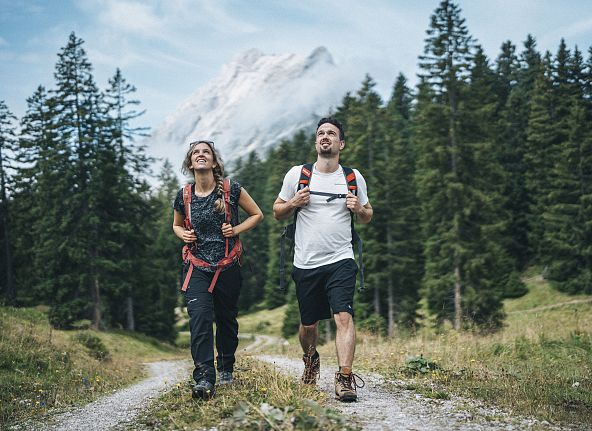
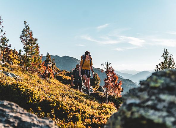
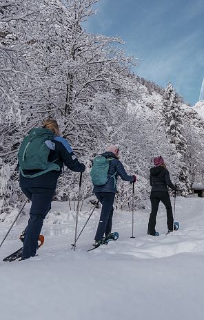
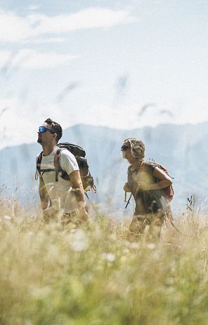
As soon as the first rays of sunshine illuminate the snow-covered peaks in spring, Hall-Wattens awakens in full bloom. Hikers and cyclists enjoy the fresh mountain air and the awakening nature. In summer, the region transforms into a paradise for outdoor enthusiasts. Whether hiking in the picturesque mountains or exploring the crystal-clear lakes, everyone will find their own personal adventure here. When the leaves turn colorful in fall, Hall-Wattens offers a spectacular natural spectacle. Harvest time is in full swing and local produce is sold at farmers' markets and served fresh. Leisurely walks through the autumnal forests make for an atmospheric experience. With the first snow, the region is transformed into a winter wonderland. Skiers and snowboarders find their happiness on the glistening slopes on the Glungezer, while winter hiking trails and toboggan runs provide a variety of entertainment.
Enjoy the following benefits in the Hall-Wattens region
- The central location in the heart of Tyrol with excellent transport connections
- The proximity to the provincial capital Innsbruck. (approx. 8 kilometers)
- Varied vacation activities and experiences all year round
- The guest card, which entitles you to free bus travel within the region and many discounts at museums and leisure activities.
- A variety of surrounding hiking and skiing areas
- Cultural and culinary events from January to December
Your summer vacation in the Hall-Wattens region
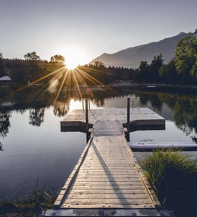
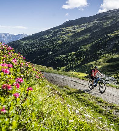
Nothing stands in the way of hiking, climbing, cycling, swimming and many other outdoor activities on a summer vacation in Tyrol: wonderful hikes in the Karwendel, Inntal and Tux Alps, varied mountain bike and climbing routes as well as crystal-clear swimming opportunities ensure a carefree and relaxing stay. Competent partners for bike rental and bike service are available in the region for the perfect cycling vacation.
