Hiking

Medium

Through the Halltal to the natural jewel Issanger

Hiking route

13,70 km

05:10 h

897 hm

1668 m

Best Time of Year

Jan

Feb

Mar

Apr

May

Jun

Jul

Aug

Sep

Oct

Nov

Dec

Information

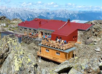
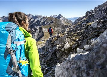
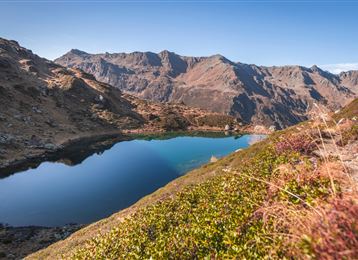
The hike takes us between rugged mountains to the gem of Issanger in the Halltal valley.

Features & Properties

Stamina

Experience

Landscape

Map & Elevation Profile

Arrival

Ausfahrt Hall Mitte -  Absam - Halltal Parkplatz

Similar Tour Suggestions

Eggerhütte

Medium

Hiking

Hiking route

6,81 km

04:30 h

579 hm

1308 m

Baumkirchen

Easy

Hiking

Hiking route

8,42 km

02:20 h

215 hm

214 hm

820 m

Baumkirchen

Easy

Hiking

Hiking route

6,28 km

01:40 h

45 hm

69 hm

658 m

Start am Glungezer

Hard

Hiking

Long-Distance Hiking

15,81 km

07:25 h

1059 hm

1651 hm

2794 m

Thaurer Zunterkopf - der kleine Nachbar vom Bettelwurf

Medium

Hiking

Hiking route

13,48 km

05:00 h

1304 hm

1303 hm

1915 m

Molyptänbergbau

Medium

Hiking

Long-Distance Hiking

11,24 km

06:30 h

851 hm

932 hm

2959 m

Tulfes

Easy

Hiking

Hiking route

12,81 km

04:30 h

330 hm

325 hm

1023 m

Panoramaweg Hinterhornalm - Walderalm

Easy

Hiking