Hiking
Easy
The Runstboden round in the Hall valley
Hiking route
4,59 km
01:30 h
186 hm
188 hm
916 m
Best Time of Year
Jan
Feb
Mar
Apr
May
Jun
Jul
Aug
Sep
Oct
Nov
Dec
Information
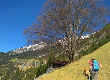
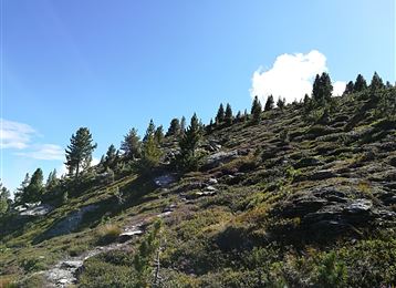
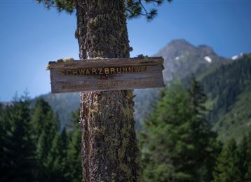
Ascending along the forest path to the "Runstboden" west above the Hall valley.
"Runst" means sorrel or also "Runse", the notch. At the highest point of the round, a bench invites you to rest. From here the path leads north down into the Hall valley. Either parallel to the Hall
Features & Properties
Stamina
Experience
Landscape
Map & Elevation Profile
Arrival
Inntal motorway A12, exit Hall Mitte, then simply continue over the connecting road Hall in Tirol - direction Absam
Similar Tour Suggestions
