Naviser Sonnenspitze

Hiking route recommended route

Naviser Sonnenspitze

Hiking route · Hall-Wattens
Logo Tourismusverband Region Hall-Wattens
Responsible for this content
Tourismusverband Region Hall-Wattens Verified partner  Explorers Choice 
  • Schwarzbrunn
    Schwarzbrunn
    Photo: Tourismusverband Region Hall-Wattens

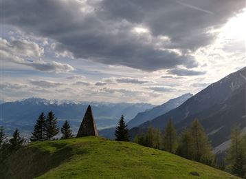
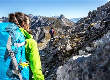
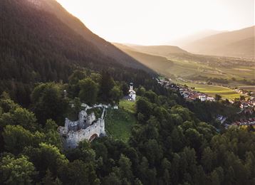
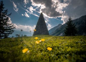
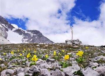
Lange, aber lohnende Talwanderung, die auf dem Doppelgipfel der Naviser Sonnenspitze mit Blick in die Tuxer Berge endet.

difficult
Distance 22.1 km
8:00 h
1,494 m
1,528 m
2,617 m
1,118 m

Author’s recommendation

Als Hike&Bike Tour empfehlenswert, da man so den langen "Talhatscher" bis zu den Steinkaseralmen abkürzen kann

Profile picture of Anne W.
Author
Anne W. 
Update: February 02, 2023
Difficulty
difficult
Technique
Stamina
Experience
Landscape
Highest point
2,617 m
Lowest point
1,118 m
Best time of year
Jan
Feb
Mar
Apr
May
Jun
Jul
Aug
Sep
Oct
Nov
Dec

Track types

Dirt road 42.36%Forested/wild trail 10.23%Path 47.40%
Dirt road
9.4 km
Forested/wild trail
2.3 km
Path
10.5 km
Show elevation profile

Rest stops

Voldertalhütte

Start

Volderwildbad (1,128 m)
Coordinates:
DD
47.250111, 11.559496
DMS
47°15'00.4"N 11°33'34.2"E
UTM
32T 693672 5236136
w3w 
///plotter.confessions.preparations

Destination

Volderwildbad

Turn-by-turn directions

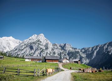
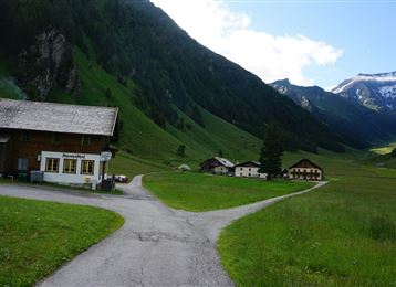
Die Naviser Sonnenspitze kann von vielen Ausgangsorten bestiegen werden, in unserem Fall starten wir vom Parkplatz Volderwildbad. Der lange, aber immer wieder überraschend schöne, Talhatscher führt von der Voldertalhütte zur Vorbergalm und weiter zur Almsiedlung Steinkasern. Hier endet der Forstweg und man steigt entlang eines schönen Bergfades hinauf zum Naviser Jöchl, dem Übergang ins Navistal. Am Naviser Jöchl angekommen zweigt ein schöner Pfad Richtung Osten ab, der uns in 30min zum Doppelgipfel der aussichtsreichen Naviser Sonnenspitze leitet.

By road

Volder - Volderwildbad

Parking

Volderwildbad

Coordinates

DD
47.250111, 11.559496
DMS
47°15'00.4"N 11°33'34.2"E
UTM
32T 693672 5236136
w3w 
///plotter.confessions.preparations
Arrival by train, car, foot or bike

Similar routes nearby

  • Markiss- Largozalm
  • Stiftsalm
  • Volderwildbad - Largozalm
  • Schwarzbrunn im Voldertal
  • Entlang des Voldertalbaches zur Steinkasernalm
  • Hinauf auf den Largoz
  • Rundwanderweg Voldertal
 These suggestions were generated by our system
Difficulty
difficult
Distance
22.1 km
Duration
8:00 h
Ascent
1,494 m
Descent
1,528 m
Highest point
2,617 m
Lowest point
1,118 m
Scenic Refreshment stops available Insider tip Summit route

Statistics

  • Content
  • Show images Hide images
Features
Maps and trails
  • 1 Waypoints
  • 1 Waypoints
Distance  km
Duration : h
Ascent  m
Descent  m
Highest point  m
Lowest point  m
Push the arrows to change the view

Please wait

Accommodation is searched

Please be patient for a little more time

All data will be loaded in an instant